Issue Date: 5/23/2016
Issue Time: 9:20 AM
NO FLOOD THREAT IS FORECAST.
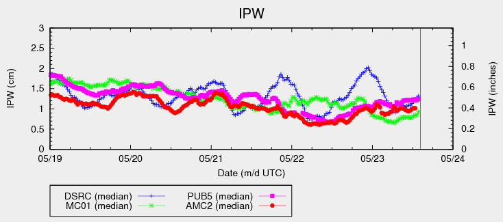
The overreaching factor in today’s weather across the state will be slightly cooler temperatures than yesterday. Most places will remain mostly sunny as dry air aloft continues to be ushered in from the south-southwest, keeping IPW values below average for this time of year (see chart).
A jet streak moving overhead today will provide just enough support to produce isolated-to-widely scattered showers/thunderstorms this afternoon and evening over portions of north-central and northeast Colorado. Additionally, the presence of a weak frontal boundary across the Palmer Divide/Southeast Plains regions will provide just enough surface convergence to force isolated thunderstorms this afternoon/evening. For more information on rain rates and impacts, please see the zone-specific discussions below.
Today’s Flood Threat Map
For more information on today’s flood threat, see the map below (hover over threat areas for more details). For Zone-Specific forecasts, jump below the map.

Zone-Specific Forecasts
Urban Corridor, Northeast Plains, Southeast Plains, and Palmer Ridge:
I’ve grouped these regions together, even though the forcing mechanisms will be different. The end result will be isolated-to-widely scattered thunderstorms, with the best coverage over the Urban Corridor and Northeast Plains. Activity will begin to fire about 10 AM over the mountains, spreading east-northeast over these regions with time. Relatively dry air in the lower levels will keep today’s storms mainly high-based, with the main threats being small hail, gusty winds, lightning, and brief moderate rainfall. A couple storms may reach severe thresholds for straight-line winds (up to 65 mph) and hail (up to 1.25 inches in diameter). Maximum rain rates vary:
Urban Corridor: 0.5-0.8 inches/hour
Northeast Plains: 0.8-1.2 inches/hour
Southeast Plains: 0.4-0.6 inches/hour
Palmer Ridge: 0.3-0.6 inches/hour
Timing: 11 AM – 8 PM for the Urban Corridor and Palmer Ridge, 2 PM – 11 PM for the Northeast Plains and Southeast Plains
Central Mountains, Front Range, and Northern Mountains:
Isolated high-based showers/thunderstorms expected today, producing more wind than rain. Maximum rain rates are 0.2-0.4 inches/hour over the Central and Northern Mountains, 0.4-0.7 inches/hour for the Front Range. Otherwise, temperatures will be a few degrees cooler than the past few days under mostly sunny skies.
Timing: 11 AM – 8 PM
Southeast Mountains, Northwest Slope, Grand Valley, Southwest Slope, San Juan Mountains, Raton Ridge, and San Luis Valley:
Mostly sunny and dry, with high temperatures just a few degrees cooler than the past few days. A few high-based cumulus over the higher terrain of the Northwest Slope and Grand Valley will result from the passing jet streak, accompanied by a few streaks of virga.