Issue Date: 5/3/2016
Issue Time: 9:27 AM
NO FLOOD THREAT IS FORECAST.
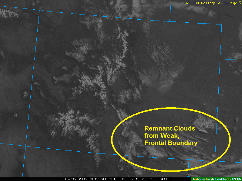
Today will be a beautiful day across Colorado as surface high pressure moves in from the west and upper-level ridging amplifies overhead. Much of the state has started out sunny this morning, minus the area of remnant scattered clouds associated with the weak frontal boundary that moved across the plains last night/this morning. The ample sunshine will allow temperatures to push back up to seasonable values, so try to get outside and enjoy it.
Even with that said, an isolated shower or two will be possible across the higher terrain of the Southwest Slope, Central Mountains, and San Juan Mountains regions. Any rain that falls will be light and brief, with rain rates less than 0.15 inches/hour. That is simply nowhere near flash flood thresholds.
Today’s Flood Threat Map
For more information on today’s flood threat, see the map below (hover over threat areas for more details). For Zone-Specific forecasts, jump below the map.

Zone-Specific Forecasts
Urban Corridor, Southeast Plains, Palmer Ridge, Raton Ridge, and Northeast Plains:
Sunny skies and warmer temperatures will be the name of the game today, as highs climb into the 60s below 6,200 feet and upper 50s for the higher elevations of the Raton Ridge and Palmer Ridge. Breezy conditions out of the north/northwest are expected, with winds gusting to 15-30 mph. Skies will remain clear tonight.
Northern Mountains, Northwest Slope, Grand Valley, Front Range, Southeast Mountains, and San Luis Valley:
Warmer and drier today as high pressure builds across the region. High temperatures will vary with elevation, but generally in the upper 50s/low 60s for the valleys and upper 30s/low 40s for the higher elevations. Gusty winds (15-20 mph) out of the west/northwest are expected. Clear skies will be in place for the overnight hours.
Central, Mountains, San Juan Mountains and Southwest Slope:
Mostly sunny and warm, with high temperatures varying with elevation. High temperatures in the valleys will range across the low 60s, with low 40s for the higher elevations. Winds will be gusty out of the west at 10-15 mph.
An isolated shower/weak thunderstorm or two cannot be ruled out across the mountain peaks this afternoon/evening. The best relative chances will be across the higher elevations of the San Juan Mountains and Southwest Slope regions. Even so, rain rates will be meager at less than 0.15 inches/hour. Any activity will diminish by the late evening as the sun goes down. Skies are expected to be mostly clear overnight.