Issue Date: Tuesday, May 3rd, 2016
Issue Time: 9:00 AM MDT
Summary:
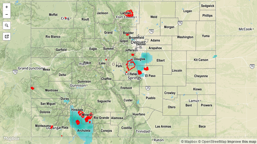
Surface high pressure and an approaching upper-level ridge helped bring a fairly quiet end to the recent cool, wet period. Scattered showers dotted the High Country, mainly south of I-70. The best rain/snow occurred across the San Juan Mountains and Southwest Slope regions thanks to the best overlap of moisture and lift. These showers came to an end around 10 PM last night.
East of the mountains, a weak frontal surge brought spotty, light showers to the Eastern Plains, Palmer Ridge, and Southeast Plains regions. This activity began yesterday evening, and slowly drifted south through the overnight/early morning hours. In fact, an area of light precipitation was ongoing across the far Southeast Plains this morning, but has since exited the state.
For a look at precipitation totals from the last 24 hours, please see the STP map below. No flash flooding occurred yesterday.