Issue Date: Monday, May 2nd, 2015
Issue Time: 9:00 AM MDT
Summary:
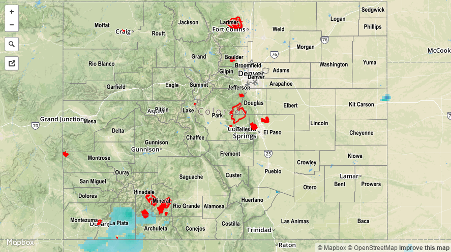
Another day of cool, unsettled weather was in place across Colorado yesterday. High temperatures yesterday were 10-20 degrees below average for the date, and freeze warnings continue this morning for portions of El Paso, Las Animas, and Huerfano counties. In general, the best rain/snow fell across the Southwest Slope and San Juan Mountains regions, thanks to the best overlap of moisture and large-scale lift. Additionally, upslope flow managed to bring a bit of enhanced precipitation to the Front Range, Urban Corridor, and Southeast Mountains regions. For a look at precipitation totals from the last 24 hours, please see the STP map below.
No flash flooding occurred yesterday.