Issue Date: 9/17/2015
Issue Time: 9:03 AM
NO FLOOD THREAT IS FORECAST.
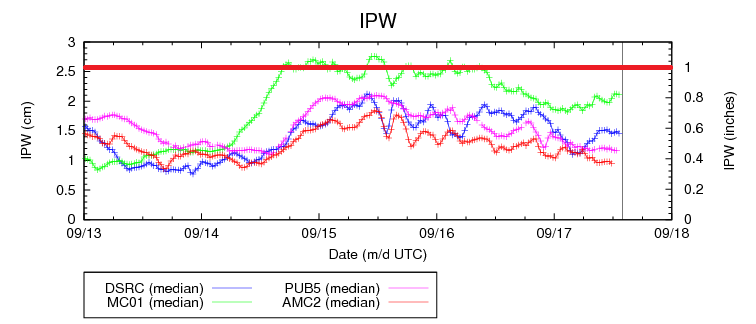
Colorado remains under the influence of west/southwest flow aloft, allowing moderate moisture to continue streaming across western Colorado. IPW is a bit above average of Grand Junction, but not enough to generate any heavy rain concerns. East of the mountains, IPW is around average; again, no concern for heavy rain indicated in the precipitable water values.
Isolated-to-scattered showers/thunderstorms are expected along the CO/WY border, with chances diminishing as you move southward. High Country regions of the Northwest Slope, Northern Mountains, Central Mountains, Grand Valley, northern extents of the Front Range will all see isolated-to-scattered activity today, while the Southeast Mountains, San Juan Mountains, Southwest Slope, and San Luis Valley remain mostly sunny and dry. East of the mountains, the northern portions of the Urban Corridor, and much of the Northeast Plains will hold the chance for isolated showers/thunderstorms during the afternoon/evening, but areas to the south will remain under mostly sunny skies. Fire danger will be high south of a line from Pueblo to Springfield, so please be extra cautious with, or avoid altogether, burning in those areas.
Today’s Flood Threat Map
For more information on today’s flood threat, see the map below (hover over threat areas for more details). For Zone-Specific forecasts, jump below the map.

Zone-Specific Forecasts
Urban Corridor, Northeast Plains, Raton Ridge, Palmer Ridge, and Southeast Plains:
Sunny and warm for most, with a few more clouds than the last couple of days due to upslope flow behind the weak cool front that passed through this morning. As stated above, the Northeast Plains and northern portions of the Urban Corridor will hold a chance for isolated showers/thunderstorms this afternoon and evening, with the best chances along the CO/WY border. Flash flooding is not a threat as maximum rain rates will be 0.7-1.0 inches/hour.
Timing: 2 PM – Midnight along the Urban Corridor, 4 PM – 5 AM for the Northeast Plains
Front Range, Northern Mountains, Northwest Slope, Central Mountains, and Grand Valley:
Isolated-to-scattered showers/weak thunderstorms expected, with less coverage than previous days. Activity is currently underway across the Grand Valley and Northwest Slope Regions, and will be moving into the Central Mountains and Northern Mountains in short order.
Heavy rain is not expected, and maximum rain rates will be 0.25 inches/hour or less.
Timing: Current – 5 AM
San Juan Mountains, Southwest Slope, Southeast Mountains, and San Luis Valley:
Mostly sunny and dry will be the main story today. The Southwest Slope will see more clouds than the other regions, but anything more than a sprinkle is not expected.