Issue Date: 9/16/2015
Issue Time: 9:05 AM
NO FLOOD THREAT IS FORECAST.
With the upper-level trough still slowly making its way onshore, west/southwesterly flow continues across the state. This will allow moisture to continue filtering into western Colorado, while dry, desert air streams into eastern Colorado. This difference in moisture will lead to a “tale of two forecasts,” if you will. The High Country, mainly along and west of the Continental Divide, will see another day of isolated-to-scattered showers with embedded weak thunderstorms. Meanwhile, eastern Colorado will experience mostly sunny and dry conditions once again, with Red Flag Warnings in place. Be sure and check with your local NWS office for more information on those dangerous fire conditions.
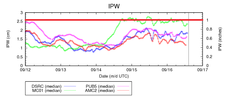
No flash flooding is expected, as heavy rain is not expected from any shower or thunderstorm activity. Precipitable water readings at Grand Junction show decent moisture available, but the ingredients to make best use of that water are just not in place. The best rainfall will fall across the Northwest Slope, Northern Mountains, Grand Valley, and western extents of the Central Mountains regions where the best instability will reside. For a look at timing and maximum rain rates, see the zone-specific discussions below.
Today’s Flood Threat Map
For more information on today’s flood threat, see the map below (hover over threat areas for more details). For Zone-Specific forecasts, jump below the map.

Zone-Specific Forecasts
Northwest Slope, Northern Mountains, Front Range, Southeast Mountains, Central Mountains, San Luis Valley, Grand Valley, San Juan Mountains, and Southwest Slope:
Isolated-to-scattered showers and embedded weak thunderstorms expected this afternoon and evening, with a few continuing overnight. The best coverage will be for areas along and west of the Continental Divide and north of I-70. Further south, less moisture will be available, so activity will be less and mainly confined to the higher terrain of the San Juan Mountain, Southwest Slope, and Grand Valley regions.
Maximum 1 hour rain rates will be low with 0.3-0.6 inches/hour being the best the atmosphere can dish out across the Northwest Slope, Northern Mountains, western portions of the Central Mountains, and Grand Valley regions. Otherwise, rain rates will remain less than 0.25 inches/hour. The Red Flag Warnings also include small portions of the Front Range, Central Mountains, and Southeast Mountains regions.
Timing: 11 AM – 11 AM. That is not a type. A few isolated-to-widely scattered showers will continue into tomorrow morning. Much like this morning.
Urban Corridor, Northeast Plains, Southeast Plains, Palmer Ridge, and Raton Ridge:
Mostly sunny and climatologically hot, with Red Flag Warnings issued for portions of the Urban Corridor, Southeast Plains, Raton Ridge, and Palmer Ridge regions. Please, use extreme caution if you have to use outdoor flames today. No rainfall is expected.