Issue Date: Wednesday, September 28th, 2022
Issue Time: 8:20AM MDT
— Flooding is NOT expected today
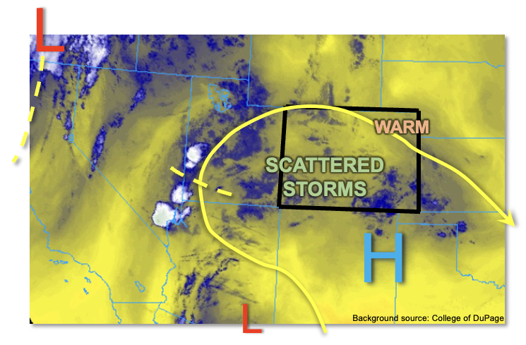
A strong incoming trough can just be seen entering the Pacific Northwest coast this morning (see water vapor image, below). However, it will be another 24-48 hours until we begin to feel the impact. For today, the upper-level ridge to our southeast has weakened a bit allowing for a modest push of monsoonal moisture, along with a couple of disturbances to make it into the Four Corners region. PW at Grand Junction has risen to 0.63 inches, though with a dry boundary layer. PW at the Platteville research site is also up slightly to 0.48 inches. Thus, we expect slightly higher storm coverage this afternoon as enough sunshine will develop 200-300 J/kg of CAPE instability. The highest coverage of storms will be over the central, southern and southwest higher terrain. However, a couple of showers may also make it onto the adjacent plains along the I-25 corridor mainly south of Colorado Springs. Only brief rainfall is expected today, along with brief gusty winds. Thus, flooding is NOT expected.
Today’s Flood Threat Map
For more information on today’s flood threat, see the map below. If there is a threat, hover over the threat areas for more details, and click on burn areas to learn more about them. For Zone-Specific forecasts, scroll below the threat map.

Zone-Specific Forecasts:
Northern Mountains, Central Mountains, Grand Valley, Northwest Slope, San Juan Mountains, Southwest Slope, San Luis Valley, Southeast Mountains, Raton Ridge & Southeast Plains:
Variable cloudiness early then partly cloudy with widely scattered to scattered showers and a few weaker storms this afternoon. Max 30-min rain rates up to 0.4 inches. Flooding is NOT expected today.
Primetime: 1PM to 7PM
Northeast Plains, Front Range, Urban Corridor & Palmer Ridge:
Mostly sunny early, then becoming partly cloudy and warm with high temperatures a few degrees above normal. An isolated shower or weak storm cannot be ruled out, especially along and west of I-25. However, with max 30-min rain rates up to 0.2 inches, flooding is NOT expected today.
Primetime: 1PM to 7PM