Issue Date: Monday, September 26th, 2022
Issue Time: 9:00 AM MDT
Summary:
The Boulder WFO nicely summarized yesterday’s weather in a single tweet:
The forecast. pic.twitter.com/Xpjml8iSbb
— NWS Boulder (@NWSBoulder) September 25, 2022
Pleasant temperatures and clear skies prevailed across the state on Sunday. The only exception was across the highest terrain of the southern San Juan and Southeast Mountains, where isolated weak showers and storms popped up during the late afternoon; only a handful of stations reported measurable precipitation, recording no more than 0.10”.
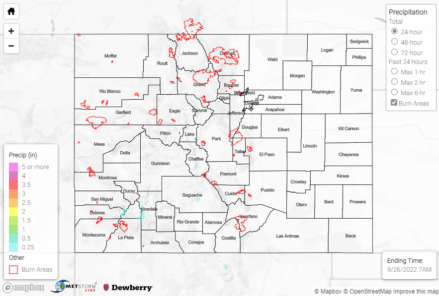
No flooding was reported yesterday. For precipitation estimates in our area, check out the map below. Remember, if you observe flooding in your area, you can use the “Report a Flood” page to make a flood report when you can safely do so.
Click Here For Map Overview