Issue Date: Sunday, September 25th, 2022
Issue Time: 8:40AM MDT
— Flooding is NOT expected today
As shown in this morning’s satellite image, below, there is hardly a cloud across the state. An upper-level ridge over the Great Basin will strengthen a bit today, allowing for dry northerly flow across Colorado. Morning PW came in at 0.32 inches in Grand Junction, while Platteville has pushed a tad higher to 0.52 inches after a weak cool front passage. On both sides of the Continental Divide, however, mid-level subsidence will allow for generally clear skies and seasonable fall temperatures.
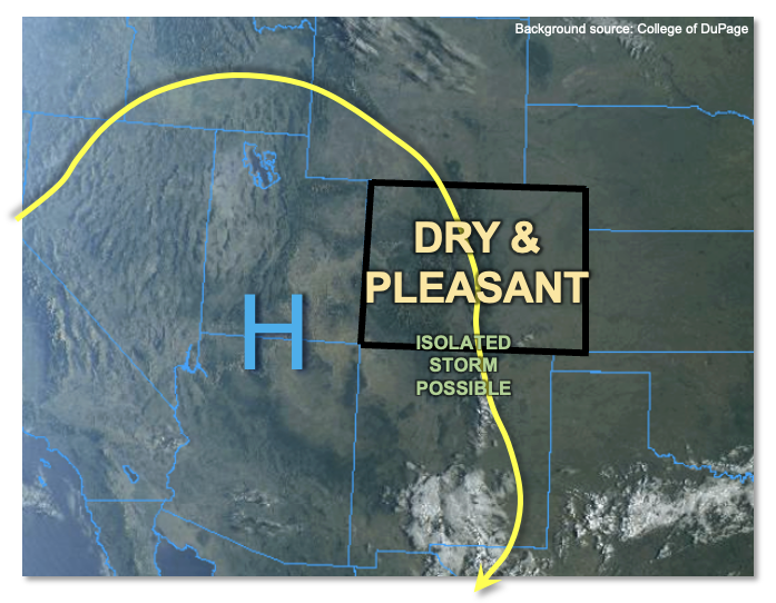
Along the higher peaks of our far southern border, just enough moisture exists to develop a few clouds within the usual afternoon anabatic upslope flow. A brief, weak storm cannot be ruled out here, but precipitation will be hard to generate and some gusty winds will be the most likely sensible impact. Thus, flooding is NOT expected today.
Today’s Flood Threat Map
For more information on today’s flood threat, see the map below. If there is a threat, hover over the threat areas for more details, and click on burn areas to learn more about them. For Zone-Specific forecasts, scroll below the threat map.

Zone-Specific Forecasts:
San Juan Mountains & Southeast Mountains:
A sunny morning will give way to some afternoon cumulus clouds along with seasonable fall temperatures. An isolated storm cannot be ruled out above 9,000 feet over the Sangre de Cristo and San Juan mountains. Max 30-min rain rates up to 0.2 inches possible, along with brief gusty winds. Flooding is NOT expected today.
Primetime: 2PM to 6PM
Northern Mountains, Central Mountains, Grand Valley, Southwest Slope, San Luis Valley, Northwest Slope, Northeast Plains, Southeast Plains, Front Range, Urban Corridor, Palmer Ridge & Raton Ridge:
A beautiful sunny day is expected with seasonable fall temperatures. Flooding is NOT expected today.