Issue Date: Saturday, September 24th, 2022
Issue Time: 9:30 AM MDT
Summary:
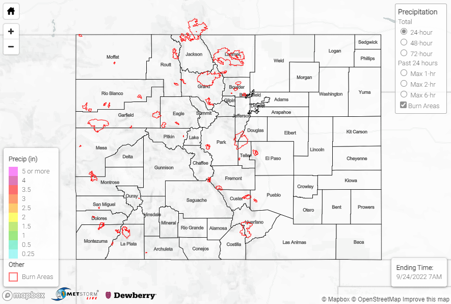
High pressure moved into Colorado from the west on Friday, scouring out residual moisture from the late-season monsoonal event of the last few days. The influx of dry air helped to erode cloud cover and brought clear skies, fair conditions, and gusty winds statewide. Aside from a handful of isolated stations reporting T-0.03”, no precipitation was observed.
Check out these awesome shots of the first signs of fall near Telluride:
#Autumn has officially begun in @Colorado! 🍂 👀
📸 @RyanBonneau #cowx pic.twitter.com/ZCJpcYzsBL
— Telluride Tourism (@VisitTelluride) September 24, 2022
No flooding was reported yesterday. For precipitation estimates in our area, check out the map below. Remember, if you observe flooding in your area, you can use the “Report a Flood” page to make a flood report when you can safely do so.
