Issue Date: Saturday, September 24th, 2022
Issue Time: 8:15AM MDT
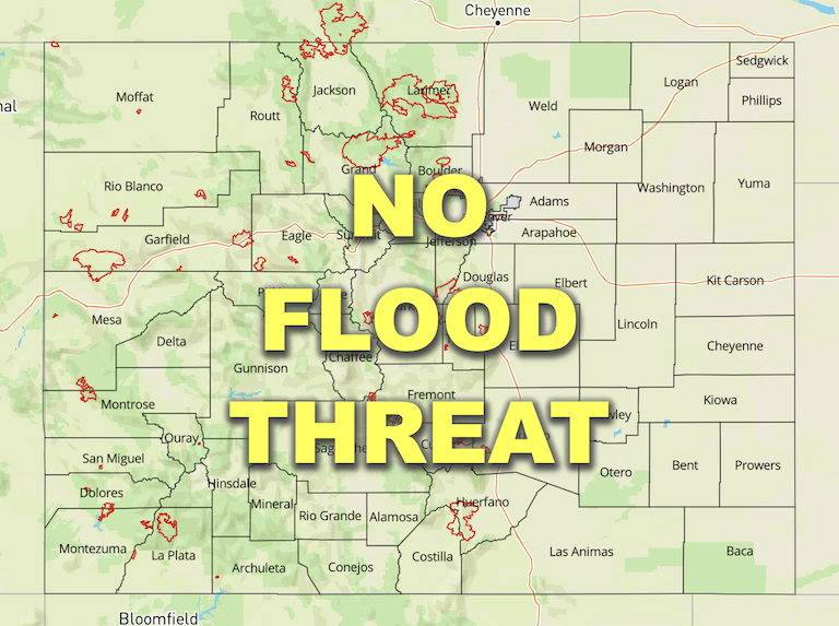
— Flooding is NOT expected today
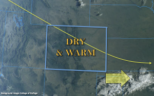
Much drier air has settled in over the state, which can be seen by the clear skies in the visible satellite imagery below. PW at Grand Junction and Platteville were both measured around 0.34 inches this morning, which is about 3x less than a few days ago. The lack of moisture and continued dry northwesterly flow aloft means nearly a zero percent chance of measurable rainfall this afternoon. A few isolated sprinkles may be possible over the southern high terrain, but the more likely scenario is just an increase in cloud cover. As predicted, flooding is NOT expected today. A dry cool front is forecast to move through the state overnight into tomorrow morning, which should mainly affect eastern Colorado. So, expected cooler temperatures over that area to start off the morning.
Today’s Flood Threat Map
For more information on today’s flood threat, see the map below. If there is a threat, hover over the threat areas for more details, and click on burn areas to learn more about them. For Zone-Specific forecasts, scroll below the threat map.

Zone-Specific Forecasts:
Southeast Mountains, San Juan Mountains, Northern Mountains, Central Mountains, Northwest Slope, Grand Valley, & Southwest Slope:
A few sprinkles may be possible over the southern San Juan and Southeast Mountains. More virga and cloud cover are forecast than meaningful rainfall. Otherwise, a clear and beautiful day is ahead. Flooding is NOT expected.
Primetime: 4PM to 8PM
Front Range, Urban Corridor, Raton Ridge, San Luis Valley, Southeast Plains, Northeast Plains & Palmer Ridge:
It will be another warm and dry day for these zones. It could get a little breezy over the Northeast Plains this afternoon with isolated gusts up to 20 mph possible. With no rainfall in the forecast, flooding is NOT expected. A dry cool front moves through the area late tonight into tomorrow morning, so some chilly overnight temperatures will be possible.
