Issue Date: Tuesday, September 20th, 2022
Issue Time: 9:20AM MDT
— Flooding is NOT expected today
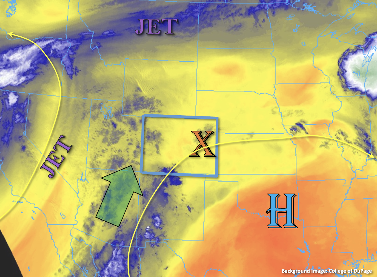
The aforementioned subtropical moisture plume has arrived to Colorado. Southwest flow from the Low off the coast of California and High over the southern Great Plains will continue to syphon in more moisture over western Colorado throughout the day causing widely scattered storms to develop over the high terrain by later this afternoon. PW at Grand Junction has risen to 0.73 inches already with slightly higher values estimated across the southern border. This morning’s sounding shows most of this moisture located in the mid and upper levels of the atmosphere, meaning the surface (boundary) layer continues to be quite dry. This should translate to high bases on storms that develop and less efficient rain rates today, which will help to temper the flood threat. After a couple rounds of rainfall this afternoon, dew points will likely increase, so light accumulations may be possible across the valleys by this evening and overnight. One other limiting factor to the heavy rainfall threat today will be fast steering flows. With strong upper and mid-level winds over the Great Basin, storms should be moving rather quickly to the northeast. So, with only light to moderate rainfall rates forecast today, flooding is NOT expected.
Over eastern Colorado, it remains quite a bit drier with PW at Platteville measured at 0.42 inches. While some mountain storms may be possible late this afternoon and evening, storms should be very isolated in nature and produce only light rainfall. Some overnight rainfall may also be possible for the mountains and heading into tomorrow morning, but flooding is NOT expected.
Today’s Flood Threat Map
For more information on today’s flood threat, see the map below. If there is a threat, hover over the threat areas for more details, and click on burn areas to learn more about them. For Zone-Specific forecasts, scroll below the threat map.

Zone-Specific Forecasts:
Central Mountains, San Juan Mountains, Northwest Slope, Grand Valley, Northern Mountains, San Luis Valley & Southwest Slope:
There will be an increase in high terrain storms by this afternoon. Isolated max 30 to 45-minute rainfall rates up to 0.5 inches (central/south) and 0.2 inches (north) will be possible. Flooding is NOT expected, but stronger storms may produce some brief windy conditions and lightning. Isolated, light overnight rainfall is likely for the mountain zones.
Primetime: 2PM to Ongoing
Southeast Mountains, Front Range, Urban Corridor, Raton Ridge, Southeast Plains, Northeast Plains & Palmer Ridge:
There’s one more hot day forecast in this late season heat streak before a cold front and increase in moisture make it feel more like fall by tomorrow morning. Isolated PM storms are possible over the mountains, but it should remain dry elsewhere. With totals forecast to remain under 0.1 inches, flooding is NOT expected.
Primetime: 3PM to 9PM