Issue Date: Wednesday, September 14th, 2022
Issue Time: 11:45 AM MDT
Summary:
Rain returned for most of the western slope on Tuesday, as the remnants of Tropical Storm Kay made their way into the region. Precipitable water was above average and plentiful, and a series of upper-level disturbances combined to produce appreciable rainfall west of the Divide. East of the Divide, dry low-level air was entrenched and prevented any precipitation.
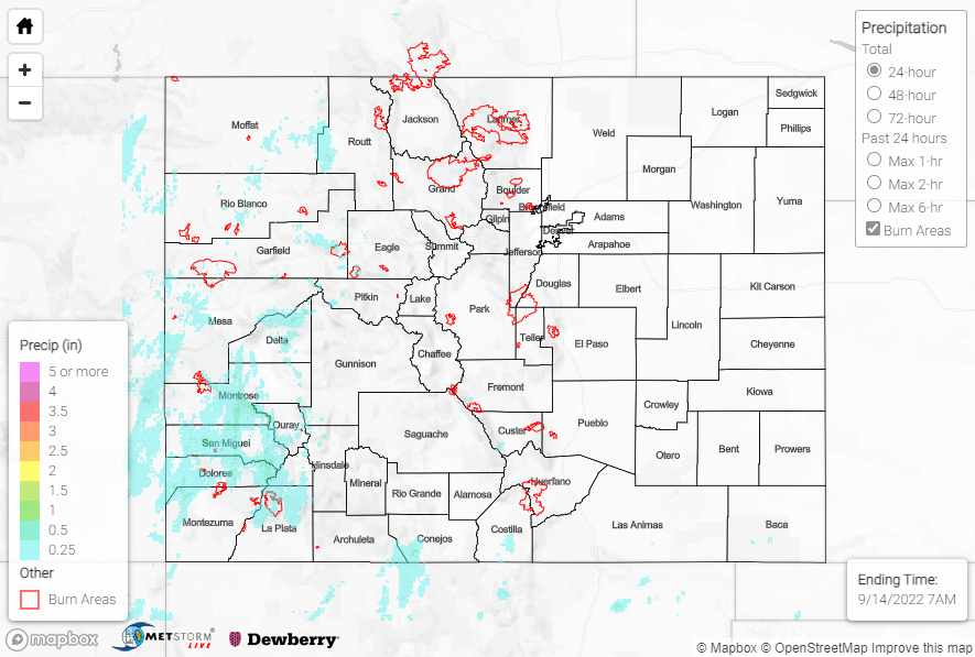
The heaviest rainfall was observed from the Grand Valley south-southeastward across the Southwest Slope and into the southern San Juans where amounts of 0.25-0.75” were common. Notable rainfall totals, including locally higher amounts than 0.75”, include:
• 0.85” near both Rico and west of Durango
• 0.76” near both Montrose and Big Bear Park
• 0.67” near both Hesperus and Rico
• 0.55” east of Durango
Farther north across the Northwest Slope, rainfall amounts were lighter with generally 0.25” or less.
No flooding was reported yesterday. For precipitation estimates in our area, check out the map below. Remember, if you observe flooding in your area, you can use the “Report a Flood” page to make a flood report when you can safely do so.
Click Here For Map Overview