Issue Date: Tuesday, September 13th, 2022
Issue Time: 10:40 AM MDT
Summary:
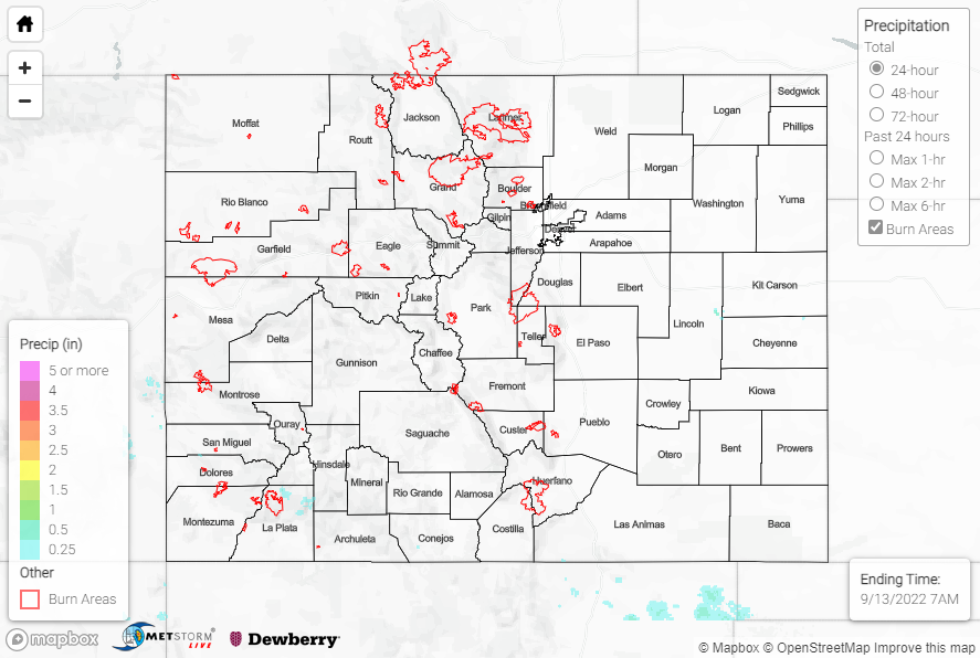
Above normal temperatures and dry conditions dominated the majority of the state on Monday thanks to the strong upper-level ridge in the region. Like a broken record, the exception of the day was across the southern San Juans Mountains where isolated showers and storms produced rainfall amounts of up to 0.30”. Precipitable water values were not overly impressive, so there were no flooding concerns with this rainfall; the highest rain gauge observation was 0.27” northeast of Durango.
No flooding was reported yesterday. For precipitation estimates in our area, check out the map below. Remember, if you observe flooding in your area, you can use the “Report a Flood” page to make a flood report when you can safely do so.
Click Here For Map Overview