Issue Date: Monday, September 12th, 2022
Issue Time: 10:30 AM MDT
Summary:
Sunshine and warmer temperatures greeted the state yesterday, although early Sunday morning saw some of the coldest temperatures of the early fall with several mountain locations experiencing their first freeze. Dense fog was prevalent in the morning across the eastern half of the state before mixing out by late morning, while the western half of the state experienced smokey/hazy conditions throughout the day from western wildfires.
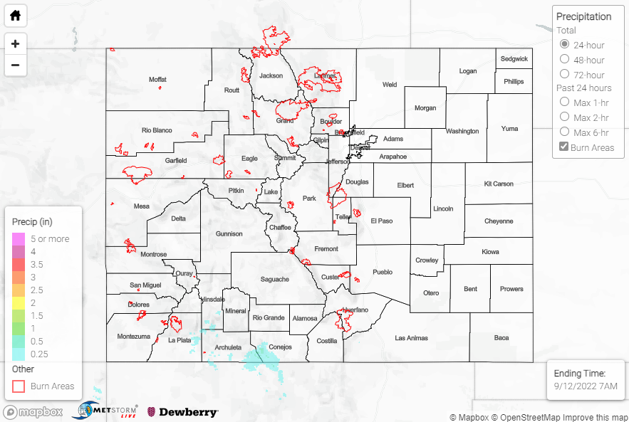
The majority of Colorado was precipitation-free, save for the southern San Juan Mountains where rainfall amounts up to 0.50” were observed. Notable rain gauge observations include 0.44” and 0.39” at automated stations east of Cortez and southeast of Durango, respectively. 0.75” hail was also reported near Vallecito.
No flooding was reported yesterday. For precipitation estimates in our area, check out the map below. Remember, if you observe flooding in your area, you can use the “Report a Flood” page to make a flood report when you can safely do so.
Click Here For Map Overview