Issue Date: Monday, September 12th, 2022
Issue Time: 8:40AM MDT
— Flooding is NOT expected today
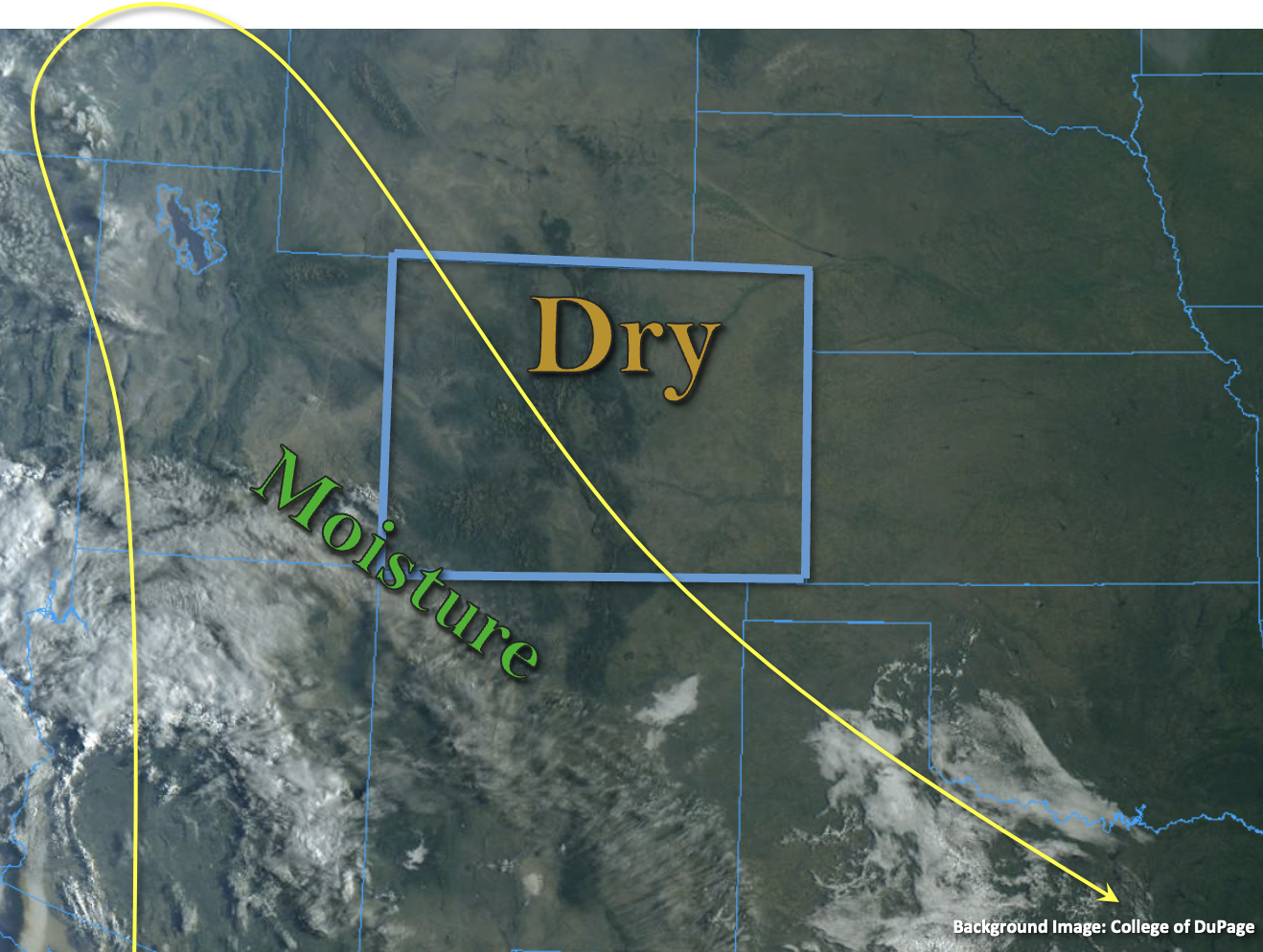
It’s going to be a rinse and repeat pattern today with most of Colorado under the influence of dry northwesterly flow, apart from the southwest corner. Subtropical moisture continues to linger under the ridge over the San Juan Mountains and surrounding area, which will allow for another day of storm development over the high terrain. PW values have likely dropped a little since yesterday, and should continue to do so throughout the day, causing storms to be more isolated in nature. Still, looking at better moisture amounts when compared Grand Junction and Platteville where morning PW values were measured at 0.35 inches and 0.19 inches, respectively. While some training storms may help boost local accumulations, the smaller storm cores are only expected to produce brief downpours, which should limit their flood potential. So, flooding is NOT expected. With High pressure over the state today, surface winds should remain light, which will help to reduce fire weather across the rest of the state as temperatures warm quite substantially.
Today’s Flood Threat Map
For more information on today’s flood threat, see the map below. If there is a threat, hover over the threat areas for more details, and click on burn areas to learn more about them. For Zone-Specific forecasts, scroll below the threat map.

Zone-Specific Forecasts:
San Juan Mountains & Southwest Slope:
Isolated storms are forecast for the area favoring the high terrains west for development. Max 30-minute rain rates up to 0.6 inches and isolated storm totals up to 0.85 inches will be possible if a couple of storms track over the same area. Outside of localized runoff under the storm cores, flooding is NOT expected. A couple stronger storms may produce some hail and lightning. Afternoon temperatures will be on the rise with upper 80s °F and low 90s °F returning to the valleys.
Primetime: 1:30PM to 8PM
Southeast Mountains, Front Range, Northern Mountains, Central Mountains, San Luis Valley, Raton Ridge, Urban Corridor, Palmer Ridge, Northwest Slope, Grand Valley, Northeast Plains & Southeast Plains:
Mostly sunny skies are forecast today with temperatures expected to increase another 10°F or so from yesterday. Too dry for any rainfall, so flooding is NOT expected.