Issue Date: Friday, September 9th, 2022
Issue Time: 11:00 AM MDT
Summary:
Record-breaking warmth continued across the state on Thursday, with locations such as Denver reaching 99° and smashing the previous record high by 5 degrees. This is quite the juxtaposition with two years ago, when Denver broke its daily snowfall record and Boulder recorded 5.6” of the white stuff!
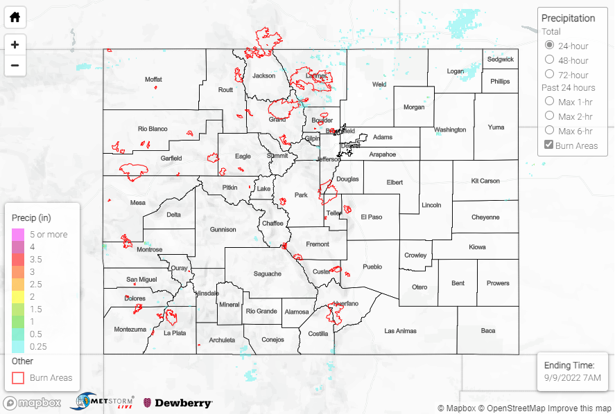
In terms of precipitation, high elevations from the Northern Mountains southward through the Central Mountains and San Juans towards Durango saw light amounts of rainfall. Most locations that saw rain observed 0.25” at most, with stations generally reporting T-0.10”. Noteworthy totals include 0.33” on the Southwest Slope southwest of Durango and 0.27” near Virginia Dale in the Northern Mountains. Showers attempted to move eastward into the foothills and plains, especially along and northwest of I-76, but dry low-level air meant many locations saw only virga.
The heat and dry conditions of late also led to fire concerns, as a wildland fire was sparked north of Fort Collins yesterday. The Larimer County Sheriff’s Office ordered mandatory evacuations for some residents.
PFA Crews are currently working the County Road 21 Fire north of Fort Collins with Larimer County Sheriff’s Office and Wellington Fire. pic.twitter.com/96NwXkAolY
— poudrefire (@poudrefire) September 8, 2022
No flooding was reported yesterday. For precipitation estimates in our area, check out the map below. Remember, if you observe flooding in your area, you can use the “Report a Flood” page to make a flood report when you can safely do so.
Click Here For Map Overview