Issue Date: Tuesday, September 6th, 2022
Issue Time: 10:40 AM MDT
Summary:
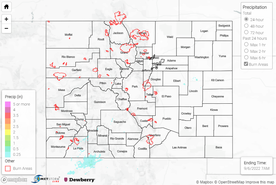
Unseasonable warmth continued across the state on Monday as the upper-level ridge continued to build. This ridge suppressed precipitation for the state again, with most locations experiencing plenty of sun and heat. The exception was the highest elevations of the Central Mountains and especially the San Juans, where isolated convection developed during the afternoon. Rainfall amounts were very light and had a small spatial footprint, with general amounts of 0.25” or less; the highest rain gauge observation was 0.34” near Twin Lakes Reservoir.
Several high temperature records were tied yesterday over south-central Colorado. Remember to take heat safety precautions as the warmth will continue today.
A few record high temperatures were tied today (September 5th, 2022) across south central Colorado, including 89 degrees at Alamosa (set in 2020) and 78 degrees in Leadville (set in 1978 and 2020)! Elevation at the Leadville Airport: 9943 FT! #cowx pic.twitter.com/3hsPTcAgKT
— NWS Pueblo (@NWSPueblo) September 6, 2022
No flooding was reported yesterday. For precipitation estimates in our area, check out the map below. Remember, if you observe flooding in your area, you can use the “Report a Flood” page to make a flood report when you can safely do so.
Click Here For Map Overview