Issue Date: Tuesday, September 6th, 2022
Issue Time: 8:30AM MDT
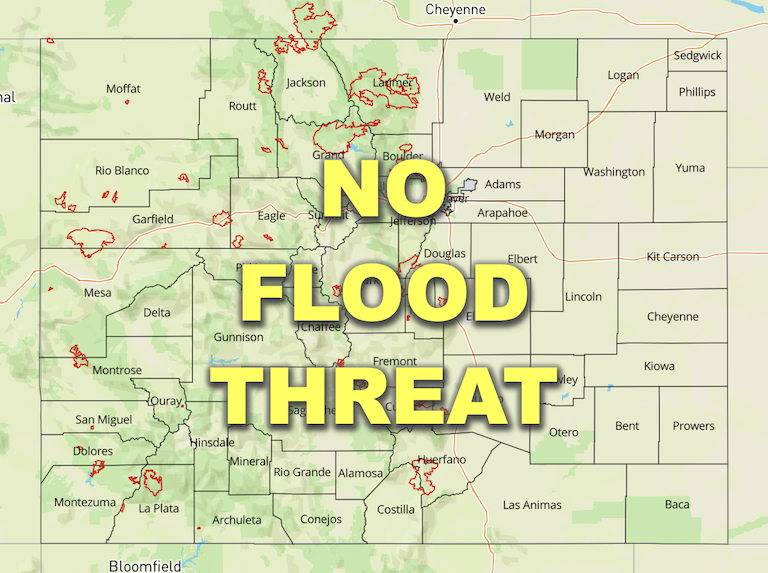
— Flooding is NOT expected today
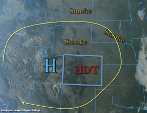
The anomalously strong High pressure center will continue to spin over Utah today, which will bring another day of hot and nearly dry conditions to the state. The clear skies shown in the visible satellite imagery below are a testament to the dry air and subsidence from the High. PW at Grand Junction has dropped to 0.37 inches, and it was measured around a half inch at Platteville. So, it’s quite dry with very limited surface moisture available. Some slightly higher moisture values are located over the southwest corner of the state, so isolated showers and weak thunderstorms may be possible over the San Juan Mountains. Outside of isolated, high-based mountain storms, rainfall is not expected.
Also shown in the image below are smoke plumes from fires across the western US. With persistent northerly flow around the High, the near surface smoke is expected to increase today over northwest and portions of west-central Colorado. Smoke aloft is expected to continue over the eastern plains, which may cause hazy conditions.
Today’s Flood Threat Map
For more information on today’s flood threat, see the map below. If there is a threat, hover over the threat areas for more details, and click on burn areas to learn more about them. For Zone-Specific forecasts, scroll below the threat map.

Zone-Specific Forecasts:
San Juan Mountains, Central Mountains, Southwest Slope, Northwest Slope, Northern Mountains & Grand Valley:
Best chance for high-based showers or weak thunderstorms will be along and near the southern portion of the Continental Divide (Central/San Juan Mountains). Isolated max 1-hour rain rates up to 0.4 inches may be possible (south) with most storms producing totals under 0.2 inches. So, flooding is NOT expected, and stronger storms may produce some brief gusts. Afternoon high temperatures will be close to yesterday, so very hot, with increasing smoke anticipated from the north.
Primetime: 3:30PM to 9PM
Front Range, Southeast Mountains, Raton Ridge, San Luis Valley, Urban Corridor, Palmer Ridge, Northeast Plains & Southeast Plains:
It’s going to be another scorcher today with high 90s °F and a couple century readings forecast across the lower elevations. Mountain valleys will reach into the 80s °F again. Subsidence and drier air will keep precipitation chances close to zero, but some afternoon cumulus clouds are expected over the mountains. Flooding is NOT expected.
