Issue Date: Monday, September 5th, 2022
Issue Time: 9:50 AM MDT
— Flooding is NOT expected today
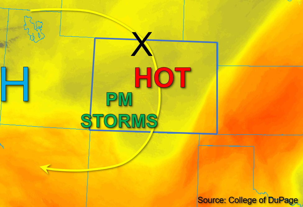
The position of the upper level high-pressure remains unchanged from its location over the Utah and Nevada border since yesterday, and as a result the predominant northerly flow pattern continues across Colorado today. This morning, PW values of 0.6 and 0.48 inches were measured in Grand Junction and Platteville, respectively, indicating a slight moistening through the column west, with little change east. However, surface moisture has decreased across most of the state since yesterday, with dew points in the upper 20s to mid-30s°F common west and low 40s to low 50s° east. A weak disturbance moving through the flow is expected to trigger widely scattered storms across portions of southwestern Colorado this afternoon. However, subsidence associated with the ridge to the west and forecast limited instability in the range of 400-700 J/kg of CAPE should yield only low-intensity storms with light rainfall. Large dewpoint depressions should keep these storms confined to higher elevations southwest producing mainly virga showers. Additionally, faster steering speeds should keep storms moving to the southwest fairly quickly and further decrease rain rates. The remainder of the state is expected to remain dry, and near-record high temperatures are forecast across Colorado this afternoon. There is NO flooding expected today.
Today’s Flood Threat Map
For more information on today’s flood threat, see the map below. If there is a threat, hover over the threat areas for more details, and click on burn areas to learn more about them. For Zone-Specific forecasts, scroll below the threat map.

Zone-Specific Forecasts:
Southwest Slope, San Juan Mountains, San Luis Valley, Grand Valley, Central Mountains, Northern Mountains, & Northwest Slope:
Skies are mostly clear and temperatures are currently warm across the western half of the state this morning. Near-record temperatures from the mid and upper-90s°F to low triple digits are forecast this afternoon. By mid-afternoon, isolated to widely scattered storms are expected to move southwestward across the southwestern Central Mountains, San Juan Mountains, and Southwest Slope. Given subsidence, limited instability, and a dry boundary layer, max 30-minute rain rates up to 0.2 inches may be possible, but mainly virga showers and gusty winds are expected. NO flooding is expected today.
Primetime: 3PM to 9PM
Front Range, Urban Corridor, Northeast Plains, Palmer Ridge, Southeast Mountains, Raton Ridge, & Southeast Plains:
Clear skies continue for eastern Colorado this morning, with near-record temperatures in the mid to upper 90s°F forecast this afternoon. Weak upper-level dynamics should keep storm activity limited to the southwestern portion of the state, while eastern Colorado is expected to remain dry and very hot this afternoon. NO flooding is expected today.