Issue Date: Sunday, September 4th, 2022
Issue Time: 11:35 AM MDT
Summary:
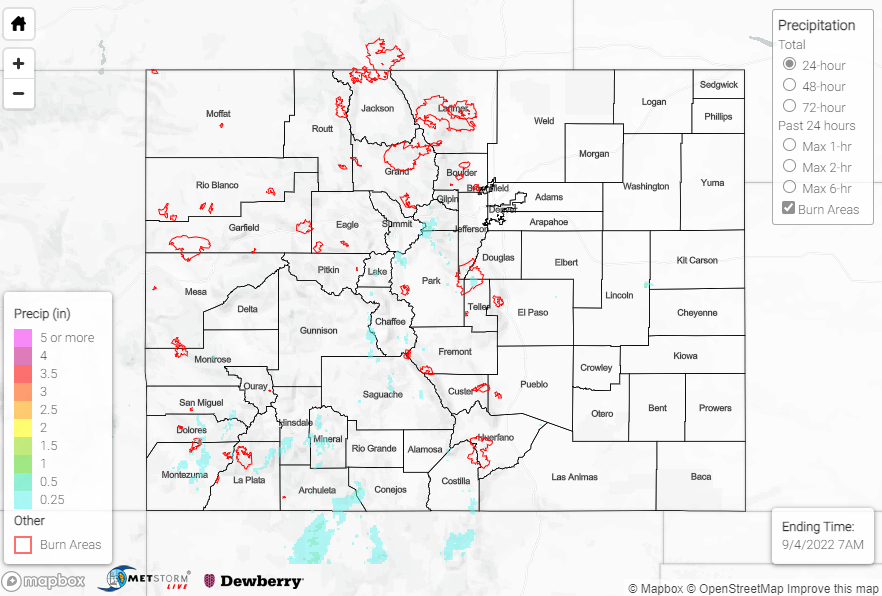
Showers and storms impacted the highest elevations of the state on Saturday, from the southern Northern Mountains southward across the San Juans and Southeast Mountains. Across the foothills and plains, dry air prevented meaningful precipitation.
The heaviest rain appears to have fallen over the southern San Juans, with QPE indicating amounts up to 1”. Rain gauge observations in this region include 0.68” at an automated station southeast of Pagosa Springs, as well as 0.44” from a CoCoRaHS observer also southeast of Pagosa Springs.
Other locations in the state that experienced rainfall generally recorded 0.25” or less, with the highest rain gauge total in the Northern/Central Mountains being 0.36” near Tabernash.
No flooding was reported yesterday. For precipitation estimates in our area, check out the map below. Remember, if you observe flooding in your area, you can use the “Report a Flood” page to make a flood report when you can safely do so.
Click Here For Map Overview