Issue Date: Friday, September 2nd, 2022
Issue Time: 10:25 AM MDT
Summary:
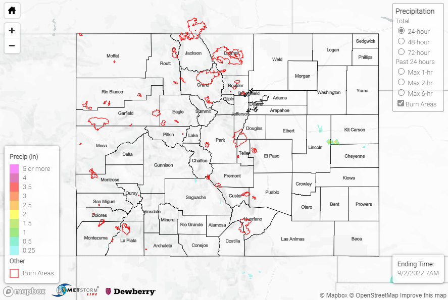
Thursday saw a return to dry conditions across the state, thanks to an upper-level high over the Four Corners region. Only a handful of stations reported any measurable precipitation, with amounts of T-0.05” at most. The rainfall shown on the QPE map below in the vicinity of Lincoln/Kit Carson/Cheyenne Counties was just the radar picking up wind farms.
Check out this beautiful sunrise from Red Rocks this morning. The virga visible in the distance is indicative of the dry air in place that helped most locations remain precipitation-free yesterday.
Sunrise from Red Rocks September 2, 2022 pic.twitter.com/mD2jKRJbo3
— NWS Boulder (@NWSBoulder) September 2, 2022
No flooding was reported yesterday. For precipitation estimates in our area, check out the map below. Remember, if you observe flooding in your area, you can use the “Report a Flood” page to make a flood report when you can safely do so.
Click Here For Map Overview