Issue Date: Wednesday, August 31st, 2022
Issue Time: 11:10 AM MDT
Summary:
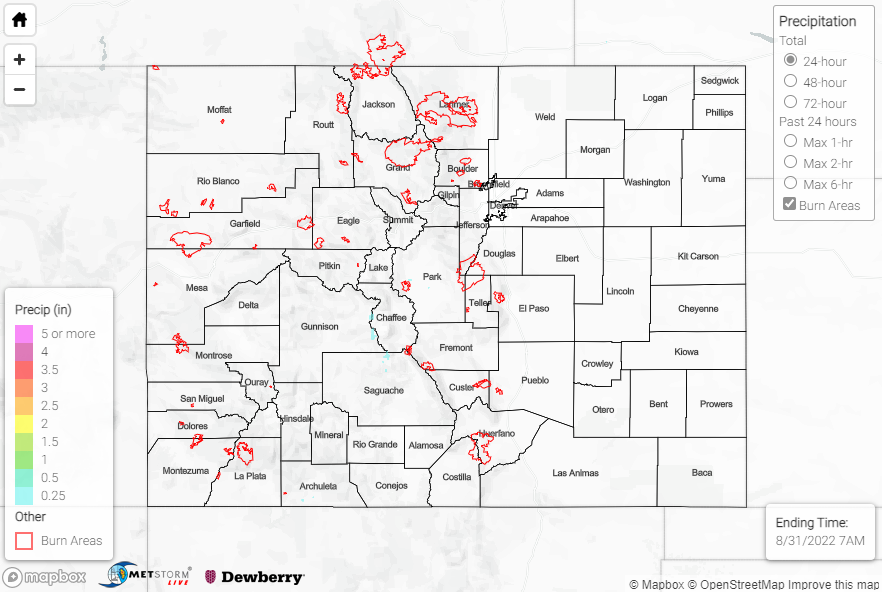
Tranquil weather prevailed across Colorado on Tuesday as most of the state saw plenty of sunshine and stayed precipitation-free. The exception was across the far southern San Juans and valleys, where highly isolated showers produced a report of 0.58” west of Pagosa Springs and a handful of reports of 0.20” or less elsewhere. An isolated report of 0.15” was also received further north in the vicinity of Park County. No flood products were issued by any regional WFOs.
Tomorrow, we’ll look at the updated U.S. Drought Monitor to see how conditions are faring across the region.
No flooding was reported yesterday. For precipitation estimates in our area, check out the map below. Remember, if you observe flooding in your area you can use the “Report a Flood” page to make a flood report, when you can safely do so.
Click Here For Map Overview