Issue Date: Tuesday, August 30th, 2022
Issue Time: 10:40 AM MDT
Summary:
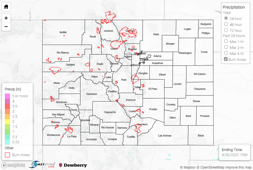
Monday featured exceptionally dry and quiet weather over the state as high pressure settled into the central Rockies. Radars were quiet, with no more than a couple hundredths of an inch of precipitation reported at a handful of stations. Aside from diurnal cumulus development, sunshine prevailed for most locations making for an all-in-all pleasant day yesterday. Look for this trend to continue as ridging continues to build and dominate the region over the next few days.
No flooding was reported yesterday. For precipitation estimates in our area, check out the map below. Remember, if you observe flooding in your area you can use the “Report a Flood” page to make a flood report, when you can safely do so.
Denver’s radar is down for maintenance upgrades through the end of August. QPE may be underestimated across the region.
