Issue Date: Friday, August 19th, 2022
Issue Time: 9:25 MDT
Summary:
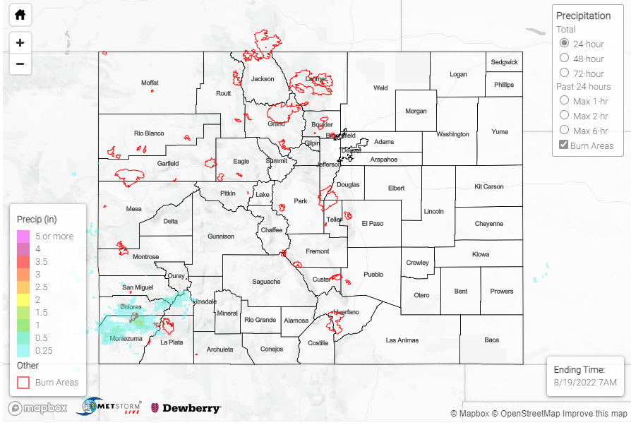
Thursday was quite a dry day across the state, with most of Colorado receiving no rainfall. The Southwest Slope and a few locations across the Front Range were the only areas to receive any precipitation. In the southwest, observations were mostly under 0.1”, but a few higher observations include 0.78” near the Utah border, 0.41” in Pagosa Springs and 0.27” near Cortez. A flood advisory was issued in La Plata county from about 3:00 – 5:00 PM, but no flooding was reported.
As mentioned above, most areas along the Front Range and Urban Corridor saw very little to no rainfall. There were a few observations, in Fort Collins and Dumont, that noted up to 0.12” at their locations, but most other scattered reports came in under 0.05”.
No flooding was reported yesterday. If you observe flooding in your area, remember to use the “Report a Flood” page to make any flood reports when you can safely do so. For precipitation estimates in our area, check out the map below.
Click Here For Map Overview