Issue Date: Tuesday, September 8th, 2015
Issue Time: 9:00 AM MDT
Summary:
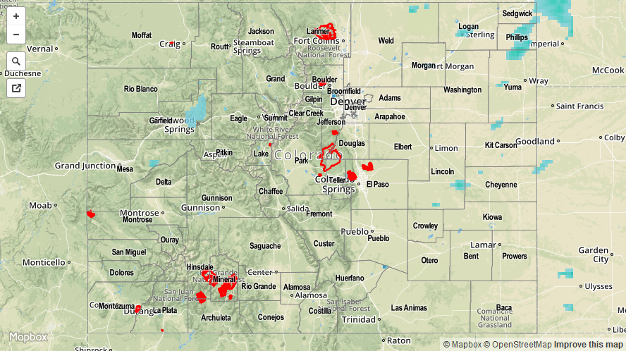
Overall, Labor Day turned out to be a fairly pleasant day regarding temperature, even if isolated-to-scattered showers and thunderstorms brought a bit of rain. Precipitable water values hovered around average for this time of year, and showers/thunderstorms responded by producing average rain rates, nowhere near enough to cause flash flooding issues. Most of the activity stayed above and adjacent to the High Country, with isolated-to-widely scattered thunderstorms present over the eastern plains. CoCoRaHS observations, where available, show that rainfall stayed below 0.5 inches, with most in the 0.05-0.20 inch range. Counties with reports of greater than 0.25 inches are:
Eagle County: 0.38 inches
Larimer County: 0.26 inches
Summit County: 0.26 inches
No flash flooding was reported yesterday. Please be sure and check the STP map below for a statewide look at yesterday’s rainfall.