Issue Date: Saturday, July 23rd, 2022
Issue Time: 9:00 AM MDT
Summary:
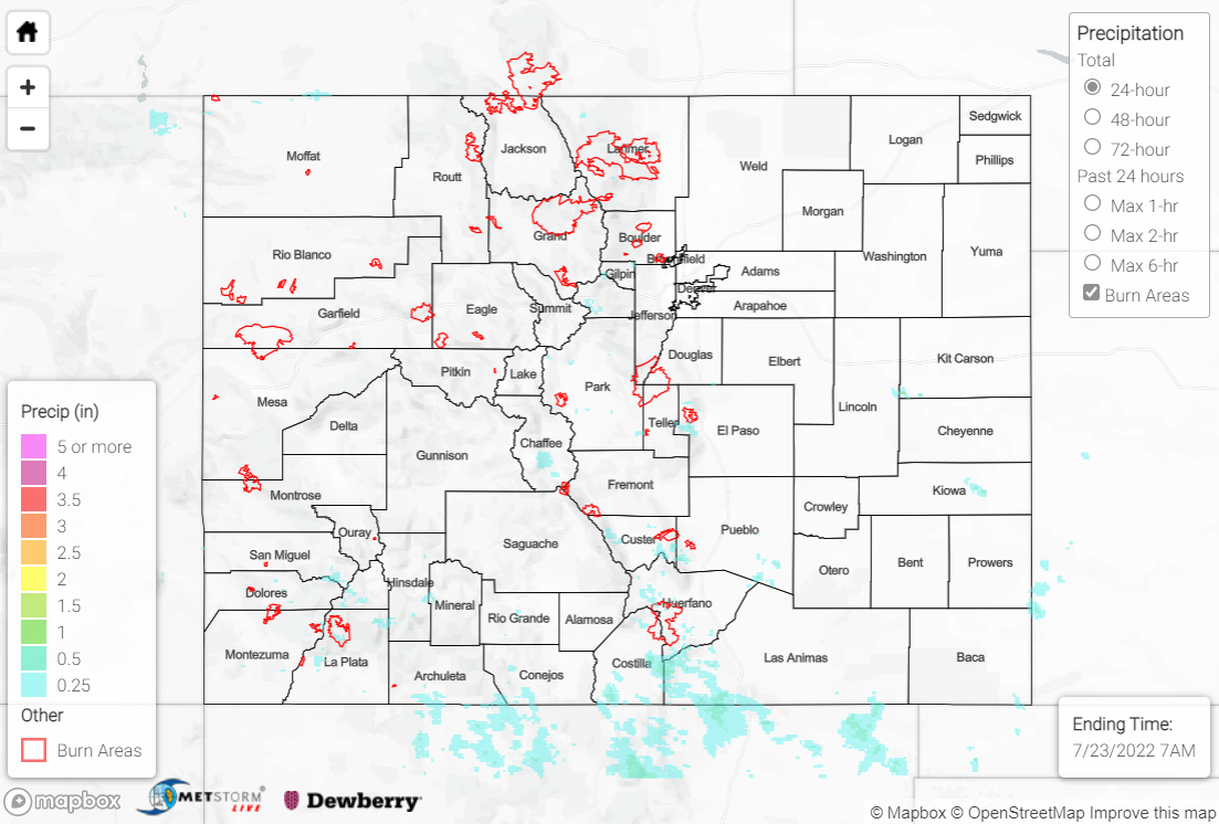
Friday saw even less coverage of precipitation than Thursday, as dry air and rising heights aloft limited convective development. Weak showers and storms were strictly confined to the high elevations and foothills, with the highest, albeit still scattered at best, coverage over the southern mountains and Raton Ridge. Precipitation totals were light, with rain gauge observations of T-0.20” where rain was observed. The heaviest rain fell across Costilla and southwestern Las Animas Counties, where QPE data suggests localized amounts up to 0.50”. Temperatures remained hot across the state, as well.
No flooding was reported yesterday; if you observe flooding in your area, remember to use the “Report a Flood” page to make any flood reports when you can safely do so. For precipitation estimates in our area, check out the map below.
