Issue Date: Friday, July 22nd, 2022
Issue Time: 9:50 AM MDT
— Flooding is NOT expected today
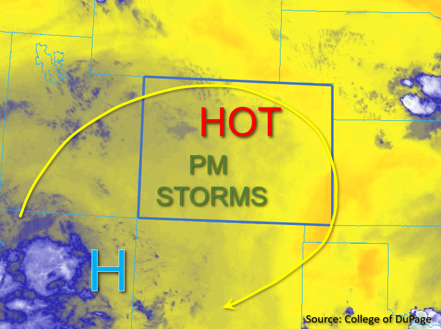
The drying trend continues statewide today, and temperatures are expected to soar into the triple digits for lower elevations. The high pressure has shifted just slightly back to the northeast, as shown in the water vapor image below, and is expected to continue a slight northeastward shift throughout the day. This should result in northwesterly steering flow turning more westerly as the day progresses. Overall column moisture continues to decrease from yesterday with Grand Junction measuring PW of 0.72 inches, which is near climatological average. Of note, high dewpoint depressions indicate a dry boundary layer, which should limit the rainfall threat overall today.
While surface moisture has recovered overnight some from yesterday’s drying, additional mixing out of moisture is expected for most of Colorado once again this afternoon. However, increasing upslope flow across southeastern Colorado should help hold some moisture in place across the higher elevations of southern Colorado this afternoon. Due to the robust surface heating expected today, instability is forecast to increase to 800-1000 J/kg of CAPE across portions of southern Colorado this afternoon. Widely scattered storms are expected to develop across the high terrains primarily west of the Continental Divide by early afternoon, although a few stray storms may drift over eastern foothills, Palmer Ridge, and eastern plains later this afternoon and evening. Brief heavy downpours, small hail and gusty winds will be possible; however, NO flooding is expected today.
Today’s Flood Threat Map
For more information on today’s flood threat, see the map below. If there is a threat, hover over the threat areas for more details, and click on burn areas to learn more about them. For Zone-Specific forecasts, scroll below the threat map.

Zone-Specific Forecasts:
Northwest Slope, Northern Mountains, Grand Valley, Central Mountains, Southeast Mountains, San Luis Valley, San Juan Mountains, Southwest Slope:
Skies are mostly clear this morning except for some stray high clouds, with pleasantly warm temperatures to start the day. Beginning early afternoon, widely scattered storms are expected to develop primarily over the higher elevations. The highest precipitation chances are expected over the San Juan Mountains where 30-minute rain rates up to 0.5 inches and 1 hour storm totals up to 0.75 inches are possible. Over the Central and Northern Mountains where moisture is forecast to be more limited, isolated 1 hour rain rates up to 0.25 inches are possible. Lightning and gusty winds are possible with any storms that develop. Hot temperatures are expected for the lower elevations and a Heat Advisory remains for portions of the Grand Valley through this evening. NO Flooding is expected today.
Primetime: Noon to 10PM
Front Range, Urban Corridor, Northeast Plains, Palmer Ridge, Southeast Plains, & Raton Ridge:
A few stray clouds are noted on visible satellite across these zones this morning, otherwise clear skies and warm temperatures are expected to quickly soar into the 90s and low triple digits this afternoon, particularly for the eastern plains. A Heat Advisory has been issued over the Northeast Plains this morning through this evening.
While ample surface heating is expected today, moisture is forecast to be quite limited until later this evening as upslope flow advects more moisture into the Southeast Plains region. A few isolated storms may develop later this afternoon over the eastern Southeast Plains and produce 30-minute rain rates of up to 0.25 inches. Further west, a few stray storms may develop over the high elevation ridges, but given the more limited moisture and instability forecast, precipitation with these storms is expected to be relatively light with virga showers and gusty winds likely. NO Flooding is expected today.
Primetime: 2PM to 9PM