Issue Date: Thursday, July 21st, 2022
Issue Time: 10:25 AM MDT
— Flooding is NOT expected today
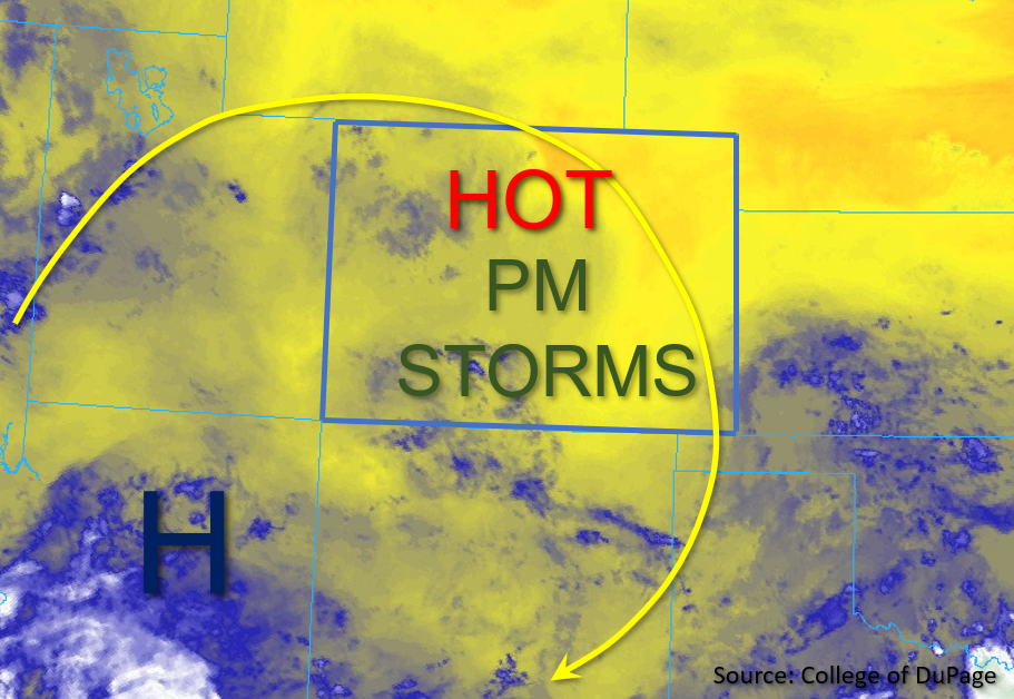
Drier conditions are expected statewide today as compared to yesterday, with temperatures slightly cooler but still increasing across much of Colorado as the High builds northward. While the upper air pattern remains largely unchanged over the past several days, the High has moved slightly south and west over Arizona, as shown in the water vapor image below. With increasing northwesterly flow, there should be a decrease in overall moisture statewide as the day progresses. PW in Grand Junction was measured at 0.90 inches this morning, a slight decrease from yesterday but still above climatological normal. Near the surface, dew point temperatures range from the low to mid-40s°F for most of western Colorado, to low 50s° for central Colorado and up to the low 60s°F for eastern Colorado, which is slightly down from yesterday except over the eastern plains. This residual boundary layer moisture is forecast to mix out fairly substantially across most of northern Colorado by early this afternoon as dry air is advected into the region from Utah.
Widely scattered storms are expected to develop mainly over the higher terrains where enhanced convergence in the presence of instability of 500-800 J/kg of CAPE is forecast this afternoon. In addition, some isolated to widely scattered storms may make their way into the eastern plains, where deeper surface moisture and instability of 1200-1500 J/kg of CAPE is forecast. A couple of these storms may produce small hail, strong winds, and briefly heavy downpours. Outside of some minor field ponding, flooding is NOT expected today.
Today’s Flood Threat Map
For more information on today’s flood threat, see the map below. If there is a threat, hover over the threat areas for more details, and click on burn areas to learn more about them. For Zone-Specific forecasts, scroll below the threat map.

Zone-Specific Forecasts
Front Range, Urban Corridor, Northeast Plains, Palmer Ridge, Southeast Plains, Raton Ridge, & Southeast Mountains:
This morning, temperatures are pleasant and skies are mostly clear aside from a few stray high clouds. By mid-afternoon, scattered storms are expected to develop initially over the higher terrains favoring areas south as well as over the elevated ridges. Isolated max 30-minute rain rates up to 0.75 inches will be possible. As storms move into the eastern plains with increasing northwesterly steering flow aloft and upslope flow at the surface, max 1-hour rain rates up to 1 inch will be possible along with strong outflow winds, small hail, and lightning. Outside of some minor ponding, flooding is NOT expected today.
Primetime: 2PM to 10PM
Northwest Slope, Northern Mountains, Grand Valley, Central Mountains, San Luis Valley, San Juan Mountains, & Southwest Slope:
Some high clouds and a few isolated showers are occurring over the Northwest Slope this morning, otherwise skies are mostly clear. This afternoon, isolated to widely scattered storms are expected to develop primarily over the higher terrains mainly south. Due to the forecasted drier boundary layer moisture, these storms are expected to produce primarily gusty winds. A few briefly heavy showers may be possible particularly over the southern San Juan Mountains. Here, max 30 minute rain rates up to 0.6 inches and isolated storm totals just under 1 inch over 2 to 3 hours are possible. Flooding is NOT expected today.
Primetime: Noon to 9PM