Issue Date: Wednesday, September 2nd, 2015
Issue Time: 9:00 AM MDT
Summary:
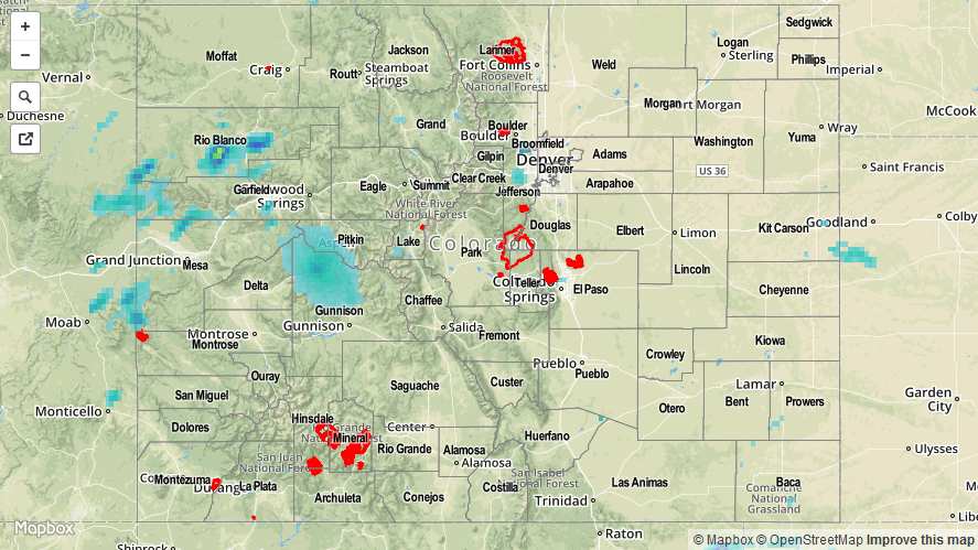
Another day of above-average temperatures marked the beginning of Meteorological Fall, with thunderstorms taking a downtick from previous days’ thanks to lessening moisture/support. Thunderstorm coverage was best over and near the mountains where terrain could play a role in development. Additionally, scattered thunderstorms developed across the far Southeast Plains where a corridor of instability presented itself during the afternoon and evening. Overall, rain rates were generally light-to-moderate, and accumulations were typically between 0.05 and 0.25 inches.
No flash flooding was reported yesterday. Please be sure and check the STP map below for a statewide look at yesterday’s rainfall.