Issue Date: Tuesday, September 1st, 2015
Issue Time: 9:00 AM MDT
Summary:
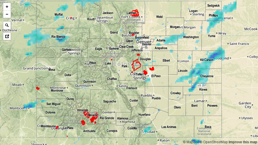
Scattered showers and thunderstorms dotted Colorado yesterday as monsoonal moisture continued its influence across the state. With instability on the low end of the scale, most showers and thunderstorms were garden-variety, producing mainly light-to-moderate rainfall and gusty winds. A few stronger storms were able to develop along the Palmer Ridge/Urban Corridor, dropping locally moderate-to-heavy rain rates for brief periods of time, along with cloud-to-ground lightning. Most activity ended by 10 PM last night, with only a few isolated showers/weak thunderstorms continuing into the early morning hours.
No flash flooding was reported yesterday. Please be sure and check the STP map below for a statewide look at yesterday’s rainfall.