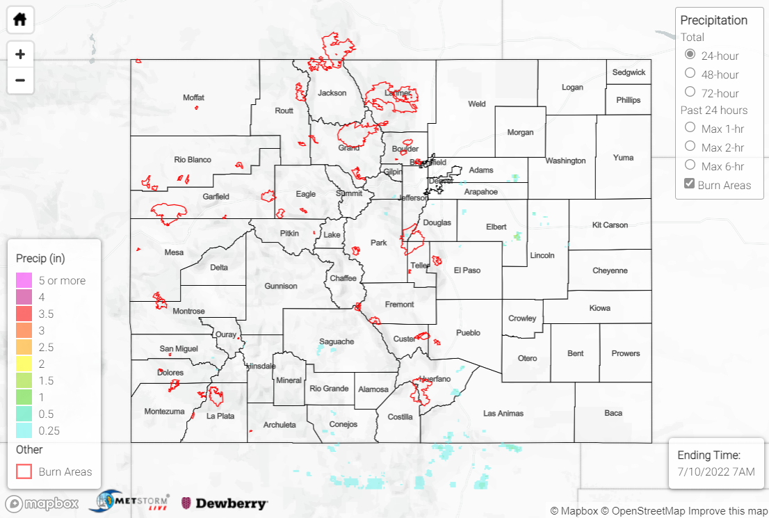
Issue Date: Sunday, July 10th, 2022
Issue Time: 10:30 AM MDT
Summary:
Ridging aloft and high pressure at the surface dominated the weather across Colorado on Saturday, with much above average temperatures and plenty of sunshine. Precipitable water values continued their downward trend of late, with the vast majority of the state staying dry. Denver and Colorado Springs broke record high temperatures, while Boulder and Colorado Springs tied record high temperatures.
With diurnal heating, a few isolated showers and weak thunderstorms were able to pop up over the high terrain and into the I-25 corridor. Locations that experienced rain generally received 0.25” or less, although some highly localized amounts up to 0.50” were observed under the most intense cells.
No flooding was reported yesterday. For precipitation estimates in our area, check out the map below.
