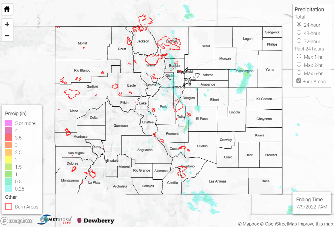
Issue Date: Saturday, July 9th, 2022
Issue Time: 10:00 AM MDT
Summary:
The ridge across the southern U.S. continued to build westward on Friday, with rising heights and warming temperatures aloft across the state. Monsoonal moisture flow was cut off for the second day in a row, as dry air continued to advect in from the southwest and lower precipitable water values. Nonetheless, scattered showers and storms developed across the high terrain by late afternoon before tracking eastward into the Plains.
Accordingly, rainfall yesterday was limited to the Front Range, Urban Corridor, and Northeast Plains. Amounts were generally light compared to recent days, with 0.25” or less, while a few localized locations saw up to 1” under the most intense cells, particularly across Washington County. Storm intensity was limited, with the only storm report being 1.5” hail near Platner. The only flood product issued yesterday was a Flash Flood Warning for the Cameron Peak burn scar, although no flooding was reported.
If you observe flooding in your area, remember to use the “Report a Flood” page to make any flood reports when you can safely do so. For precipitation estimates in our area, check out the map below.
