Issue Date: Saturday, July 9th, 2022
Issue Time: 8:50AM MDT
— Flooding is NOT expected today
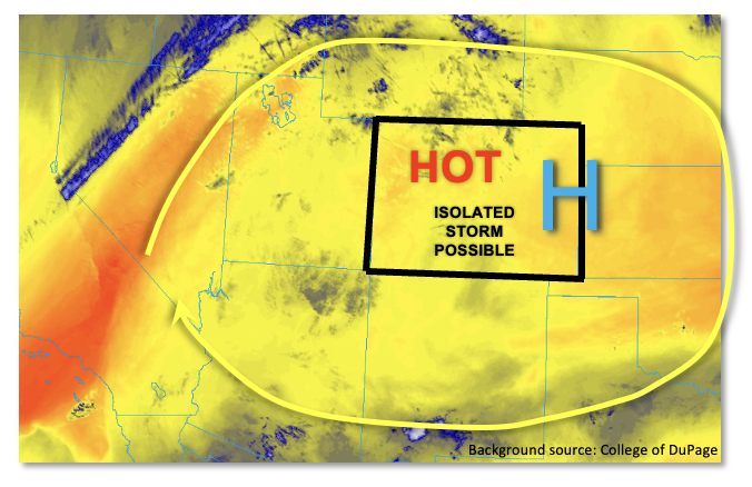
After a prolonged stretch of fairly active weather featuring heavy rainfall somewhere in the state, a quieter day is on tap for most of Colorado. As shown in the water vapor image, below, a strong upper-level ridge is centered directly over Colorado this morning. The ridge has intensified over the past 24 hours with mid-level temperatures rising 4-6F. This implies stronger subsidence is expected today with an increase in afternoon high temperatures to near record territory. Moisture has decreased notably statewide with this morning’s PW at Grand Junction coming in at 0.48 inches, while Denver’s PW is estimated at 0.6 – 0.7 inches (sounding not available). With the aforementioned subsidence and no import of fresh moisture, expect a further decrease in storm coverage today. Nonetheless, with plenty of sunshine, the deep boundary layer this afternoon will be just unstable enough to produce some isolated storms over the Palmer Ridge, Southeast Mountains, Raton Ridge and San Juan Mountains. Most storms will produce very little precipitation with gusty winds being the more notable “threat”. However, right along the NM border along the Raton Ridge, a brief moderate/heavy downpour is possible. But aside from some nuisance ponding, flooding is NOT expected today.
Today’s Flood Threat Map
For more information on today’s flood threat, see the map below. If there is a threat, hover over the threat areas for more details, and click on burn areas to learn more about them. For Zone-Specific forecasts, scroll below the threat map.

Zone-Specific Forecasts:
Central Mountains, Southeast Mountains, San Juan Mountains, Southeast Plains, Palmer Ridge, Southeast Mountains & Raton Ridge:
Mostly sunny early then partly cloudy and hot with isolated thunderstorms possible this afternoon and evening. Max 30-minute rainfall 0.5 inches (north) and 0.7 inches (south). Gusty winds will be possible with the strongest cells, but flooding is NOT expected today.
Primetime: 1PM to 8PM
Northern Mountains, Front Range, Urban Corridor, Grand Valley, Southwest Slope, San Luis Valley & Northwest Slope:
Mostly sunny and hot today with near record high temperatures expected. An isolated weak storm cannot be ruled out over the higher terrain of the Front Range, but max 30-minute rainfall is expected to stay below 0.3 inches. Thus, flooding is NOT expected today.
Primetime: 2PM to 8PM