Issue Date: Wednesday, June 29th, 2022
Issue Time: 9:05AM MDT
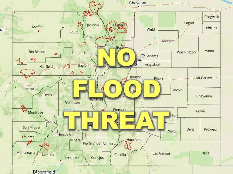
— Flooding is NOT expected today
— Fire-Burn Forecast Summary: 4 burn areas under LOW threat; click HERE for more info
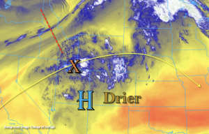
A hot, but otherwise mild summer day is ahead with storms returning the high terrains this afternoon and evening. A weak ridging pattern remains in place this morning, which will be replaced by more westerly flow aloft by this evening as a trough (red dashed line) moves east to our north. There’s a little moisture and lift marked over northern Utah this morning (orange “X”), which as it moves east with the westerly flow, should help provide a little better storm coverage over the northern and central high terrains today. One lacking ingredient for heavy rainfall today will be moisture. PW at Grand Junction and Denver were measured at 0.78 and 0.60 inches, respectively, but most of this moisture was located in the mid and upper levels of the soundings. This means that weak storms and showers that develop should be widely scattered (north) to isolated (south) in nature and pose more of a wind than heavy rainfall threat. As mentioned above, best coverage of rainfall should be north of I-70, although some isolated, weak storms are also likely to fire with the diurnal flow and residual moisture along and near the Continental Divide over the San Juan Mountains. As anticipated, flooding is NOT forecast today.
Today’s Flood Threat Map
For more information on today’s flood threat, see the map below. If there is a threat, hover over the threat areas for more details, and click on burn areas to learn more about them. For Zone-Specific forecasts, scroll below the threat map.

Zone-Specific Forecasts:
Northern Mountains, Front Range, Northwest Slope, Central Mountains, Grand Valley, Urban Corridor, Palmer Ridge & Northeast Plains:
Max 1-hour rain rates up to 0.5 inches and a couple rounds of rainfall providing local totals up to 0.8 inches will be possible. Best coverage of rainfall should be west of the Continental Divide over the elevated plateaus and mountains and across the southern Front Range. With steering flow becoming more westerly, a few storms may spill into the Urban Corridor, but totals should remain around 0.4 inches or less. With the dry surface layer, strong storms that develop may produce some brief outflow winds, which is especially true as they spill into the adjacent plains. Flooding is NOT expected today.
A Red Flag Warning has been issued for the Northeast Plains as southwest winds gusts could reach up to 35 mph and relatively humidity potentially drops to 10 percent. Tune into your local NWS office for more information.
Primetime: 11AM to 11PM
San Juan Mountains, Southwest Slope, San Luis Valley, Southeast Mountains, Raton Ridge & Southeast Plains:
Best chance for storms will be over the San Juan Mountains today, and max 1-hour rain rates up to 0.4 inches will be possible. Isolated totals could reach up to 0.6 inches by later this evening. A weak storm or two may develop over the Southeast Mountains, but totals should remain under 0.2 inches. Flooding is NOT forecast today.
Primetime: 12PM to 9PM
