Issue Date: Tuesday, June 28th, 2022
Issue Time: 10:25 AM MDT
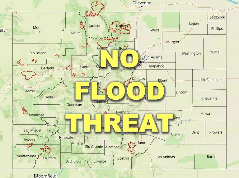
— Flooding is NOT expected today
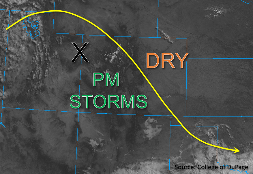
This morning skies are mostly clear as a high-pressure ridge continues to build in from the west over Utah and Nevada. Subsidence associated with the approaching ridge is expected to contribute to a warming and drying trend statewide. A subtle impulse in the flow, marked by the “X” in the visible satellite image below, is expected to transition southeastward across western Colorado today. Instability is forecast to increase to between 800-1000 J/kg of CAPE in southwestern Colorado this afternoon, which, in conjunction with the approaching upper-level energy and topography, should initiate isolated to widely scattered storm development across western Colorado by early afternoon with storms moving fairly slowly south to southeast.
PW this morning in Grand Junction was measured at 0.71 inches, which is a lesser value than yesterday and is expected to decrease throughout the day with drying. Still, dew points may remain in the upper 40s°F to low 50s°F across southwestern Colorado until evening. With less moisture forecast today, storms are likely to be high based and strong storms may pose a wind and small hail threat. Quick downpours could be possible with the more intense storms over the Southwest Slope and far western San Juan Mountains, but outside of nuisance ponding, flooding is NOT expected today.
Today’s Flood Threat Map
For more information on today’s flood threat, see the map below. If there is a threat, hover over the threat areas for more details, and click on burn areas to learn more about them. For Zone-Specific forecasts, scroll below the threat map.

Zone-Specific Forecasts:
Southwest Slope, San Juan Mountains, San Luis Valley, Southeast Mountains, Grand Valley, Central Mountains, Northwest Slope, Northern Mountains & Front Range:
This morning, skies are mostly clear aside from a few stray high clouds. Isolated storms are expected to develop across the Central Mountains by early afternoon, with more widely-scattered storm development expected further south. The highest precipitation chances appear likely over the Southwest Slope and eastern San Juan Mountains, where moisture and instability are maximized. Maximum 1-hour rain rates of 0.75 inches are possible here, along with strong downdrafts and potentially a small hail threat. Isolated 1-hour rain rates around or just under 0.5 inches will also be possible over the Central Mountains and Southeast Mountains with most storms producing under 0.3 inches of rainfall. Flooding is NOT expected today.
Primetime: Noon to 9PM
Urban Corridor, Northeast Plains, Palmer Ridge, Southeast Plains & Raton Ridge:
Clear skies and warmer temperatures are forecast for eastern Colorado today. Due to the increased warming and drying expected and only meager instability that is forecast across the region, little if any precipitation is expected for the eastern half of the state, aside from perhaps a stray light shower over the Urban Corridor and Palmer Ridge. NO flooding is expected today.
