Issue Date: Monday, June 20th, 2022
Issue Time: 9:25AM MDT
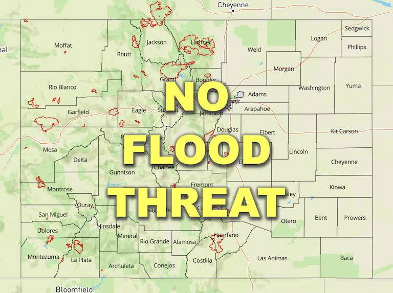
— Flooding is NOT expected today
A cooler and drier day is forecast for most of Colorado as the subtropical moisture plume that was over western Colorado and the mountains this weekend has been replaced by a very dry air mass. PW at Grand Junction and Denver have dropped to 0.28 inches and 0.54 inches, respectively. This is quite the difference over western Colorado where PW has gone from the 95th percentile yesterday morning to below the 10th percentile this morning! With stronger upper-level winds moving over western Colorado, due to the movement of the Low, windy, westerly surface winds are forecast for the area later today. With the cooler temperatures and plenty of rainfall from the weekend, the fire weather risk should remain subdued over western Colorado and the mountains.
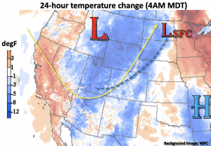
Below is the 24-hour temperature change, and a cold front (blue dashed line) is expected to slowly dip across the state late today/tonight as the trough moves to the northeast. A trough axis and this front should help to generate some storms and showers over the Southeast Plains this afternoon and into the overnight hours as the subtropical moisture plume has moved into this area. However, surface moisture is expected to become limited with the very dry air mixing eastward throughout the day, so flooding is NOT expected.
Today’s Flood Threat Map
For more information on today’s flood threat, see the map below. If there is a threat, hover over the threat areas for more details, and click on burn areas to learn more about them. For Zone-Specific forecasts, scroll below the threat map.

Zone-Specific Forecasts:
Palmer Ridge, Raton Ridge, Northeast Plains & Southeast Plains:
Widely scattered storms are likely to develop over the eastern Raton Ridge and Southeast Plains this afternoon with lighter showers possible during the overnight hours over the far eastern plains. Max 1-hour rain rates up to 0.60 inches will be possible this afternoon and evening along with strong gusty winds under the stronger storm cores. Flooding is NOT expected. Low to mid-90°Fs are forecast today and breezy southwest winds may cause pockets of enhanced fire weather over the plains.
Primetime: 3PM to Midnight
Northern Mountains, Northwest Slope, Central Mountains, San Juan Mountains, Front Range, Urban Corridor, Southeast Mountains, San Luis Valley, Southwest Slope & Grand Valley:
Drier air has moved overhead and will continue to spread eastward, which will keep the chance of precipitation close to zero today. Isolated storms may graze the northwest corner through mid-afternoon, but storms will likely produce more virga than measurable rainfall. Therefore, flooding is NOT forecast. It is also forecast to get breezy by this afternoon with westerly winds forecast in the 15-25 mph range. High temperatures should run around average or slightly below normal.
