Issue Date: Thursday, June 16th, 2022
Issue Time: 9:30 AM MDT
Summary:
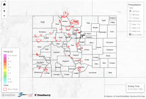
Yesterday was fairly uneventful- almost no precipitation was reported, save for a few reports in the northeastern corner of the state, and temperatures were still a bit cooler than the heat from last weekend. Scarce reports of 0.01, 0.03 and 0.12 inches in Philips County were the extent of the rainfall for the state; along with an absence of any severe weather or advisories, this lead to a relatively calm day.
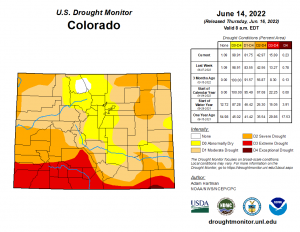
The U.S. Drought Monitor has released an updated report for this week. Positively, the area of exceptional drought has decreased from 0.79% to 0.23%, and severe drought has also dropped slightly from 83.55% to 81.55%. Areas in the extreme drought category increased approximately 2.6%, however. Across the board, these changes were still very minor adjustments from the previous week’s conditions.
There was no flooding reported yesterday. For precipitation estimates in your area, check out the map below.

