Issue Date: Wednesday, June 15th, 2022
Issue Time: 9:45 AM MDT
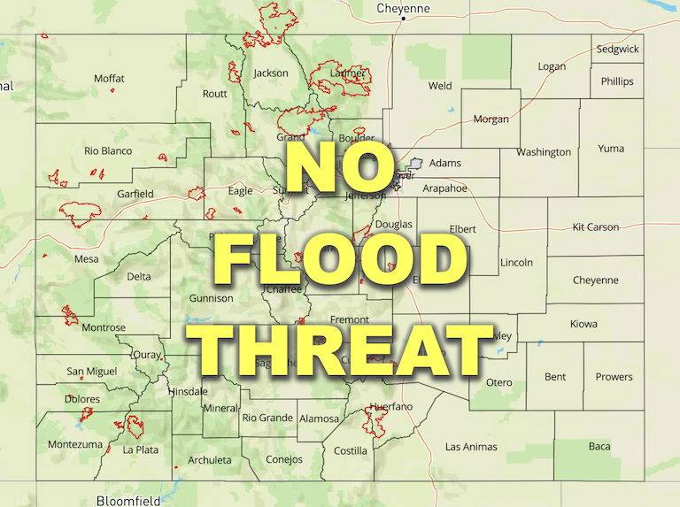
— Flooding is NOT expected today
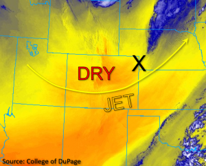
Early this morning, the last remaining band of precipitation moved out of northeastern Colorado in conjunction with the departing jet streak, as noted by the “X” in the water vapor image below. Westerly midlevel flow in the wake of the trough is forecast to weaken throughout the day, with calmer, cooler and much drier conditions expected statewide as compared to yesterday. The dryness is evidenced this morning with PW of only 0.17 inches and a high dewpoint depression observed in Grand Junction. Denver is slightly more moist by comparison, but still drier than yesterday with a PW of 0.38 inches. Due to this very dry boundary layer, minimal instability, and subsidence in the wake of the trough no precipitation is expected today in Colorado. Therefore, NO flood threat has been issued.
Today’s Flood Threat Map
For more information on today’s flood threat, see the map below. If there is a threat, hover over the threat areas for more details, and click on burn areas to learn more about them. For Zone-Specific forecasts, scroll below the threat map.

Zone-Specific Forecasts:
Front Range, Urban Corridor, Palmer Ridge, Northeast Plains, Southeast Plains, Raton Ridge & Southeast Mountains:
Early this morning, the shallow cloud cover left in the wake of the band of overnight precipitation has quickly mixed out, leaving behind clear skies and dry conditions across these zones. Aside from a few high mountain clouds, skies should remain clear throughout the day. Winds are forecast to be lighter than yesterday but may still be a bit gusty this afternoon. A Red Flag Warning has been issued for Central and Southeast Park County from 11AM until 7PM this evening for winds out of the west at 10 to 15mph, gusting up to 30mph and relative humidity as low as 7 percent. Please tune into to your local NWS office for the latest critical fire weather information. Flooding is NOT expected today.
Northwest Slope, Northern Mountains, Grand Valley, Central Mountains, Southwest Slope, San Juan Mountains, & San Luis Valley:
Aside from a few high mountain clouds, skies are clear across western Colorado this morning. Winds are forecast to be calmer compared to yesterday, but could still reach gusts of up to 20 to 30mph in the higher elevations and further south near the New Mexico border later this afternoon and evening. Otherwise, clear and dry conditions are expected across the western portion of the state today, and flooding is NOT expected.
