Issue Date: Tuesday, June 14th, 2022
Issue Time: 10:45 AM MDT
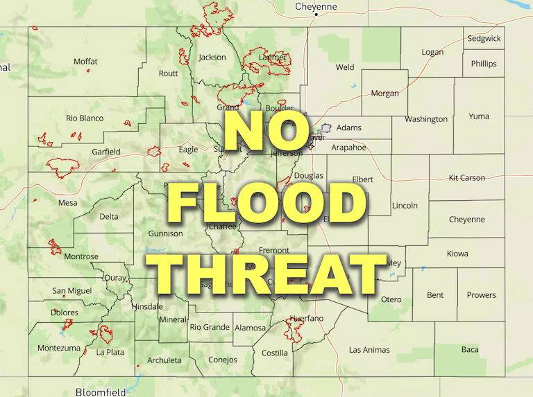
— Flooding is NOT expected today
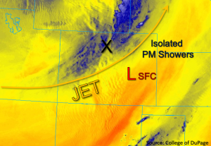
This morning, a few light showers were falling across portions of northern Colorado in association with an approaching shortwave trough, as notated by the “X” in the water vapor image below, before beginning to dissipate later this morning. As this trough continues to shift eastward, a surface low pressure circulation is forecast to develop in east-central Colorado. In association with the lift from the shortwave trough and forecasted weak instability, this surface low should provide additional convergence to help trigger a few rounds of isolated light showers across the Northeastern Plains this afternoon. A few of these showers may persist into the overnight hours. However, due to forecasted low rain rates, NO flooding is expected today.
Moisture has increased statewide as compared to yesterday, as observed by Grand Junction’s PW of 0.57 inches and Denver’s PW of 0.55 inches this morning. However, cooler temperatures are forecast and the upper jet is expected to mix moisture out further west. As a result, primarily dry conditions and gusty winds are forecast for the western and southern portions of the state today.
Today’s Flood Threat Map
For more information on today’s flood threat, see the map below. If there is a threat, hover over the threat areas for more details, and click on burn areas to learn more about them. For Zone-Specific forecasts, scroll below the threat map.
Zone-Specific Forecasts:
Northwest Slope, Northern Mountains, Central Mountains, Front Range, Urban Corridor, Northeast Plains, Palmer Ridge & Southeast Plains:
Light rain showers were falling this morning across the Northern and Central Mountains, as well as portions of the Front Range. Isolated showers are forecast to develop this afternoon and evening across the Northeast Plains. There is a possibility for storms to persist into the overnight hours, but at this time it appears the heavier rainfall should remain east where dew points are forecast to be higher and dynamics stronger. Max 1-hour rain rates up to 0.50 inches are possible with storms that develop today, so flooding is NOT expected.
The Flood Advisory is still in effect for the Colorado River near the entrance of RMNP to the Grand Lake through tomorrow. Levels have begun to drop this morning, but they still remain in Action stage. Low-lying areas, including trails in and around Tonahutu Creek near Grand Lake, may experience minor flooding issues.
Primetime: 3PM to 1AM
Grand Valley, Southwest Slope, San Juan Mountains, San Luis Valley, Southeast Mountains & Raton Ridge:
This morning, smoke from Arizona fires continues to advect over the region with dry southwest flow aloft. Cooler temperatures behind the passing shortwave are forecast today as compared to yesterday. Due to strong winds likely mixing down to the surface and scouring out remaining moisture, conditions are expected to remain dry. These stronger winds and lower humidity values are expected to yield critical fire weather once more over these forecast zones, thus warranting the issuance of another large Red Flag Warning today. Please tune into your local NWS office for the latest critical fire weather details.
