Issue Date: Saturday, June 11th, 2022
Issue Time: 11:00 AM MDT
Summary:
Friday saw sunshine and much above normal temperatures, as an upper-level ridge centered over the desert southwest expanded northeastward across the state. Temperatures approached and exceeded triple digits in some locations, with Grand Junction airport tying their record high of 100 degrees set in 1981.
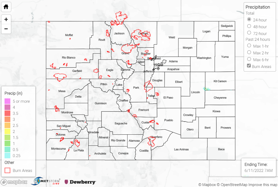
Thanks to subsidence under the building ridge, Colorado was precipitation-free on Friday, with only isolated reports of a trace to a couple hundredths of an inch.
The Boulder WFO issued a Flood Advisory for snowmelt yesterday for the upper reaches of the Colorado River in Grand County that remains in effect until 6:45 AM MDT Monday. The river is expected to rise to 7.8 feet, with flood stage being 8.0 feet. Minor lowland and meadow flooding is expected from near the entrance of Rocky Mountain National Park down to Grand Lake. Numerous other creeks, streams, and rivers in the high country are also observing above normal flows due to snowmelt.
There was no flooding reported yesterday. For precipitation estimates in your area, check out the map below.
