Issue Date: Friday, June 10th, 2022
Issue Time: 10:10 AM MDT
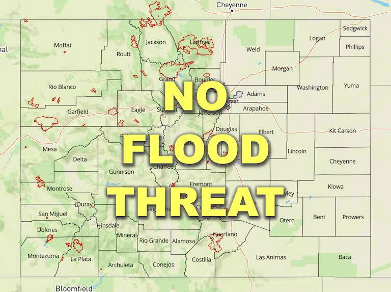
— Flooding is NOT expected today
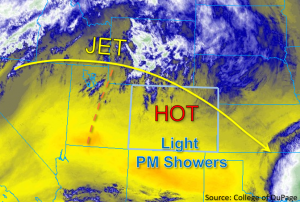
This morning, some high clouds are noted across northern Colorado, but skies are otherwise clear across the state. Pleasant morning temperatures are expected to quickly rise to 10 to 15°F above average statewide by this afternoon. A broad ridge is continuing to build across western Colorado, as shown in the water vapor image below. However, the upper-level energy in Colorado is forecast to remain relatively weak throughout the day. Subsidence associated with the ridge is expected to suppress storm development and keep precipitation chances limited statewide today.
That said, daytime heating and orographic forcing may help to generate subtle terrain-enhanced circulations in the mountains by late afternoon. These features may produce enough lift to trigger some low intensity virga showers over the San Juan and Southeast Mountains, as well as the Front Range, Palmer Ridge, and adjacent foothills this afternoon. Due to the relatively dry boundary layer and DCAPE values forecast to reach between 1400-1700 J/kg this afternoon, gusty outflow winds up to 45mph will be possible with any virga showers that do develop. Given the forecasted low rain rates, NO flood threat has been issued.
Today’s Flood Threat Map
For more information on today’s flood threat, see the map below. If there is a threat, hover over the threat areas for more details, and click on burn areas to learn more about them. For Zone-Specific forecasts, scroll below the threat map.
Zone-Specific Forecasts:
San Juan Mountains, San Luis Valley, Southeast Mountains, Raton Ridge, Palmer Ridge, & Southeast Plains:
There are clear skies and warm temperatures this morning across much of southern Colorado. Aside from a few high clouds and brief, isolated virga showers this afternoon, precipitation is expected to remain limited in these zones. Gusty outflow winds and the potential for lightning-related fire hazards are the primary concerns with any storms that do develop in mountains and higher terrain. Max 1-hour rain rates are not forecast to exceed 0.5 inches over the San Juan and Southeast Mountains, with a lower 1-hour maximum of 0.25 inches possible over the Palmer Ridge. Otherwise, primarily hot and dry conditions are forecast for these zones today, and flooding is NOT expected.
Primetime: 4PM – 10PM
Southeast Slope, Grand Valley, Northwest Slope, Central Mountains, Northern Mountains, Front Range, Urban Corridor & Northeast Plains:
Aside from some high clouds, skies are mostly clear and temperatures warm and pleasant this morning. Later this afternoon into the evening, a few very isolated virga showers may develop over the Front Range. Gusty winds will likely accompany any brief virga showers that do develop in the mountains, and associated lightning-related fire hazards may exist there as well. Max 1-hour rain rates are forecast to be very minimal at 0.10 inch. Otherwise, mostly hot and dry conditions are expected for these zones. A heat advisory has been issued for Grand Valley for temperatures forecast to reach 100°F! NO flooding is expected today.
Primetime: 6PM – 10PM
