Issue Date: Thursday, June 9th, 2022
Issue Time: 10:05AM MDT
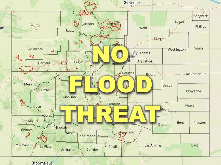
— Flooding is NOT expected today
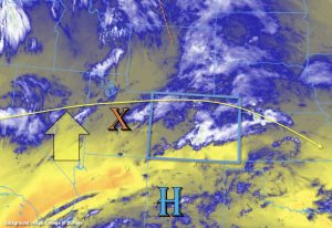
As the last of the trough to our north (orange dashed) moves east today, zonal flow aloft will be replaced by northwesterly flow as a new ridge begins to build to our west. As for mid-level energy, a shortwave back over Utah (orange “X”) and some added ripples in the flow over Wyoming are forecast to move into eastern Colorado this afternoon and evening, which will help produce some lift for storms to develop over the Southeast Mountains, elevated ridges and eastern plains.
PW at Grand Junction was measured at 0.50 inches with the higher moisture located in the mid and upper levels of the atmosphere. This is helping to produce cloud cover this morning, and isolated showers over this area today should be limited to the high terrains near the Continental Divide. Over Denver, PW was still around average, but it has dropped slightly to 0.54 inches. There is still a strong (and expected) gradient to the east with PW around 1 inch over the far eastern plains. A couple surface Lows are expected to set up over the adjacent plains today, and their associated flow should help set up a dry line out east. It is likely that the southerly winds, marking the moisture gradient, will set up over the far eastern border or just to our east. So, storms that develop back to the west should again be high-based, limiting the flood potential over the area. However, out east, if this deeper moisture and associated instability is able to hang on over the border counties, another round of severe storms may be possible. That means that local heavy rainfall may be still be possible in the stronger storm cores, but rain rates are unlikely to exceed flood threat criteria. Therefore, NO flood threat will be issued.
Today’s Flood Threat Map
For more information on today’s flood threat, see the map below. If there is a threat, hover over the threat areas for more details, and click on burn areas to learn more about them. For Zone-Specific forecasts, scroll below the threat map.

Zone-Specific Forecasts:
Southeast Mountains, San Juan Mountains, San Luis Valley, Palmer Ridge, Raton Ridge, Northeast Plains & Southeast Plains:
Widely scattered storms are forecast to develop over the eastern San Juan Mountains and Southeast Mountains today with some spillover possible into the northern San Luis Valley. Over the mountains, max 1-hour rain rates up to 0.25 inches are forecast, and if a couple storms track over the same area, localized totals up to 0.50 inches will be possible. Over the edges of northern San Luis Valley, accumulations up to 0.20 inches will be possible. The main threat from storms today will be lightning, which pose a potential fire hazard with plenty of storms producing low rain rates and virga.
As additional should storms develop over the ridges (favoring central/south Colorado), and max 1-hour rain rates up to 0.75 inches will be possible over the adjacent plains. As storms move east, expect upscale growth and strengthening of storms. If moisture can hang on with southerly flow, max 1-hour rain rates up to 1.50 inches will be possible over the eastern border counties. No flood threat has been issued. The main threat from the severe storms that do develop today will be strong outflow winds and hail.
Primetime: 12:30PM to 8PM (west); 1:30PM to 9:30PM (east)
Front Range, Central Mountains, Urban Corridor, Northern Mountains, Northwest Slope, Southwest Slope & Grand Valley:
High-based, isolated afternoon storms will be possible along and near the Continental Divide and over the Front Range. Max 1-hour rain rates up to 0.20 inches are forecast with most storms producing virga and/or brief windy conditions. Therefore, flooding is NOT expected. Afternoon highs should reach into the upper 90Fs over the Grand Valley, and 90Fs are forecast for other lower elevation areas.
Primetime: 2PM to 6PM
