Issue Date: Wednesday, June 1st, 2022
Issue Time: 9:30AM MDT
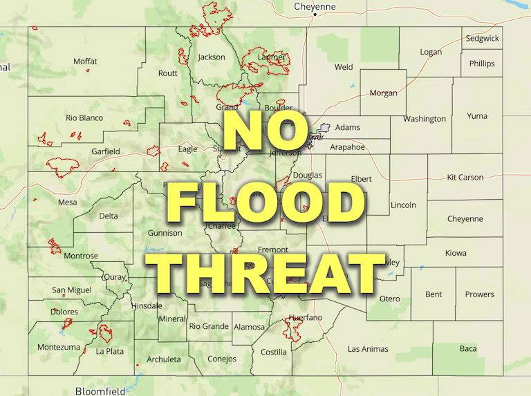
— Flooding is NOT expected today
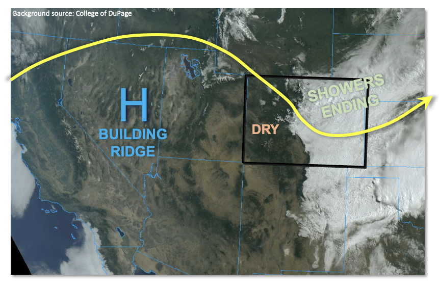
After the welcome soaking rain and snow over a majority of northern and eastern Colorado over the past 24 hours, this morning we see clouds and precipitation remain below about 10,000 feet over eastern areas. This is shown beautifully in the visible satellite image below. Meanwhile, along and west of the Continental Divide, clear skies abound.
The disturbance responsible for the recent precipitation will quickly move out of the state by early afternoon taking with it all remaining rain showers. PW this morning showed a strong gradient across the state with Grand Junction at 0.43 inches while Denver was at 0.70 inches. With an incoming upper-level ridge, dry westerly flow will slowly erode the cloud deck over the eastern part of the state. However, keyword: slowly. Given the depth of the saturated atmosphere, clouds are expected to persist for a good part of the day over eastern and southern areas. As such, high temperatures will remain well below normal under areas with the most persistent cloud deck.
To the west, seasonably cool temperatures and plenty of sunshine will make for a pleasant Wednesday. Low relative humidity is expected again over southwest Colorado, but a lack of wind has at least temporarily precluded the Red Flag Warnings.
Today’s Flood Threat Map
For more information on today’s flood threat, see the map below. If there is a threat, hover over the threat areas for more details, and click on burn areas to learn more about them. For Zone-Specific forecasts, scroll below the threat map.
Zone-Specific Forecasts:
Northeast Plains, Southeast Plains, Northern Mountains, Front Range, Urban Corridor, Central Mountains, Palmer Ridge, Southeast Mountains & Raton Ridge:
Mostly cloudy early with some leftover rain showers mainly over the eastern Plains. Max 1-hour rainfall up to 0.4 inches possible. Some clearing is expected by late in the day, but even so, temperatures will be 10-25F below normal!
Primetime: Ongoing to 1PM
Grand Valley, San Juan Mountains, Southwest Slope, San Luis Valley & Northwest Slope:
Mostly sunny and pleasant today with temperatures running a few degrees below normal.

