Issue Date: Tuesday, May 31st, 2022
Issue Time: 10:00 AM MDT
Summary:
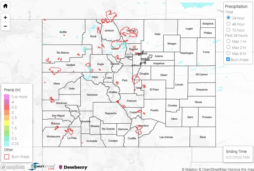
Monday saw less precipitation than Sunday, with most rainfall reports showing either no precipitation, or under a tenth of an inch. There was a small amount of precipitation in between Denver and Fort Collins, as other reports indicated 0.1-0.28 inches in areas such as Loveland, Milliken, and Greeley.
Winds have kept up, with 46-62 mph gusts reported along the southern border of the state. In addition, a non-thunderstorm wind gust of 48 mph and a thunderstorm wind gust of 51 mph, was reported associated with a storm in the central plains along the eastern border. Red Flag warnings remained in effect today for a small region of the state today, including the San Luis Valley, eastern San Juan Mountains, and La Garita Mountains. Fire weather in this area continues due to those gusty winds and low humidity, according to the National Weather Service.
Most significantly, a Winter Weather Advisory is in effect for counties with elevations about 9000 feet in the Northern and Central mountains, looking at a possibility of 4-12 inches of snow in that region through tomorrow at midday.
It’s the day after Memorial Day and we’re STILL not done with winter weather in Colorado. Our higher peaks and passes could get a foot of snow. Roads will likely become slick this evening. #cowx #4wx @ChrisCBS4 @LaurenCBS4 @DaveCBS4 @CBS4Dom @michelleCBS4 pic.twitter.com/qHRoi04DZz
— Ashton Altieri (@AshtonCBS4) May 31, 2022
Lastly, the Flood Advisory for Moffat County is still in effect for the Green River, set to expire this Thursday, June 2nd. No flooding has been reported related to this event, and gages nearby report normal levels.
There was no flooding reported yesterday. For precipitation estimates in your area over the last few days, check out the map below.
