Issue Date: 8/21/2015
Issue Time: 9:02AM
Summary:
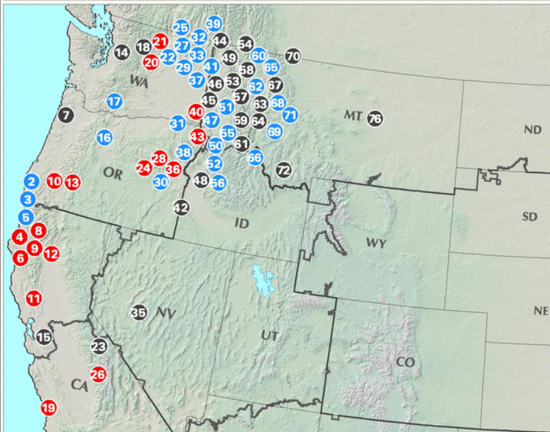
With dry air continuing its grasp on Colorado, the big story on Thursday was not weather related but instead the large plumes of smoke that traveled into the state from the northwest. The map below, from the USDA Forest Service, shows at least two dozen active wildfires in Montana, Idaho, Washington and Oregon. As Colorado had 30-50 mph northwesterly flow in the mid and upper-levels, the smoke from these fires was quickly transported into our state. The haze was so thick that residents in Colorado Springs could not see Pikes Peak.
Weather wise, it was a textbook late summer day with a cool start leading to mostly sunny skies and seasonably warm temperatures. Dewpoint temperatures fell into the 20s and 30s, which are some of the lowest values that we have seen since the start of the Flood Threat Bulletin on May 1st. Fortunately wildfires were not reported across Colorado on Thursday.
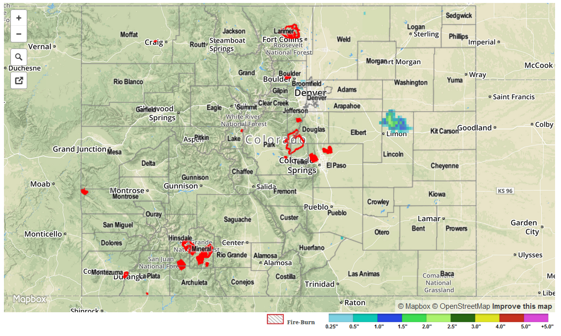
No flooding or rainfall occurred received yesterday. It appears that our radar estimated rainfall map, below, was affected by insects or birds leading to spurious readings in Lincoln County.