Issue Date: Wednesday, May 25th, 2022
Issue Time: 8:40AM MDT
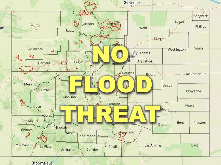
— Flooding is NOT expected today
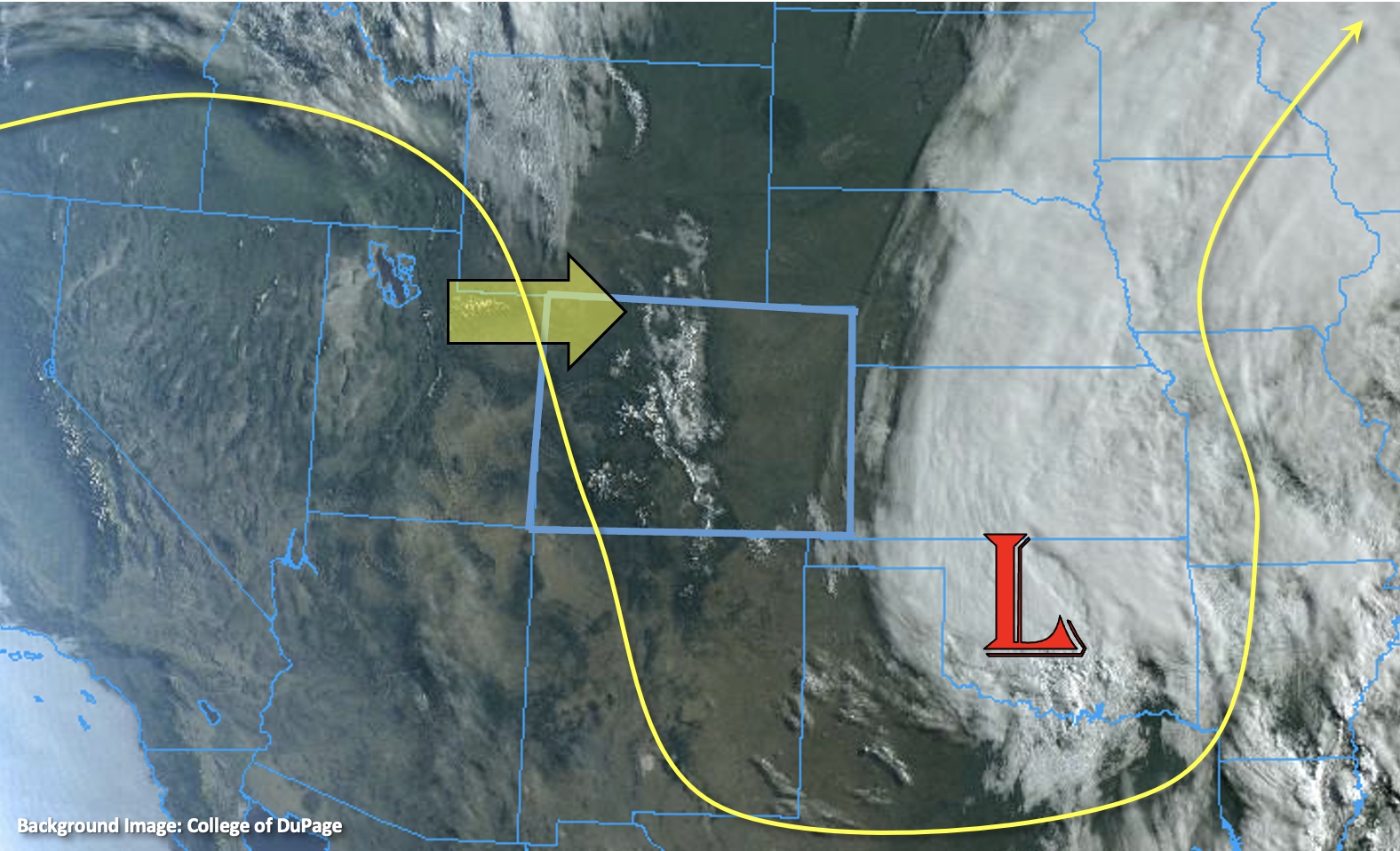
To the east of Colorado, the Low pressure system that helped produce our last precipitation event can be viewed in the visible satellite imagery below. This morning, it looks like there is still some lingering cloud cover over the mountains and valley fog as well as plenty of new snowpack (bright white). A dry NNW flow aloft will move over the state today as the ridge begins to migrate eastward (yellow arrow). PW at Denver has dropped about a tenth of an inch since yesterday, nearly matching Grand Junction in this morning’s sounding at 0.38 inches. In combination with subsidence under the building ridge, rainfall is not anticipated today. Therefore, there is NO flood threat issued.
Increased flow is forecast along the Green River today due to releases at Flaming Gorge Reservoir (northwest CO). Flow along the Yampa River is also expected to increase later this week below the confluence with the Green River (west-central Moffat County).
Today’s Flood Threat Map
For more information on today’s flood threat, see the map below. If there is a threat, hover over the threat areas for more details, and click on burn areas to learn more about them. For Zone-Specific forecasts, scroll below the threat map.

Zone-Specific Forecasts:
Front Range, Southeast Mountains, Palmer Ridge, Urban Corridor, Northeast Plains, Raton Ridge & Southeast Plains:
Near normal temperatures are forecast today over the northern Urban Corridor and Northeast Plains with afternoon highs remaining 8-15F below normal over the mountains and Southeast Plains. Plenty of sunshine for a pleasant spring day with northerly winds in the 15 to 20 mph range this afternoon. Rainfall is not anticipated today, so there is NO flood threat issued.
Central Mountains, Northern Mountains, San Juan Mountains, Northwest Slope, San Luis Valley, Grand Valley & Southwest Slope:
Near normal temperatures are forecast this afternoon with 70Fs forecast across the lower elevations and 60Fs for the mountain valleys. Very little cloud cover is expected, but anticipate an increase in cloudiness by tomorrow morning. Winds today will be coming out of the NNW and are forecast in the 10 to 20 mph range over the steeper terrains. Rainfall is not forecast today, so flooding is NOT expected.
