Issue Date: Friday, May 20th, 2022
Issue Time: 10:05AM MDT
— Flooding is NOT expected today
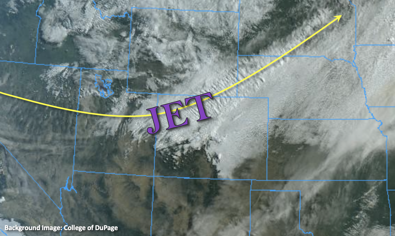
A robust trough has set up over the western US with a strong jet stream and cold temperatures accompanying it. Snow has already begun over the northern mountains and precipitation is spilling into the northern Urban Corridor this morning, which is aligned with the strong upper-level winds. The right entrance of a jet streak is anticipated to set up over the northern mountains and adjacent eastern plains today, which will help to provide enhanced lift to the area this afternoon into tonight. PW at Denver and Grand Junction was just over 0.50 inches, which means there’s plenty of moisture with the dynamic set up for widespread precipitation chances through tomorrow. For today, expect the current area of precipitation to expand in coverage over the Urban Corridor, western Northeast Plains and Palmer Ridge, and then tonight into the Southeast Mountains. A secondary push of cold air from the north should help drop the snow line by late this afternoon into the early evening hours over the Palmer Ridge and Urban Corridor. It will also push out the lingering warm air that is currently over the southern border later tonight.
Due to how warm it has been, there should be plenty of melting at the lower elevations, which will somewhat limit snow accumulation. Slick roads are also anticipated during this storm, especially as the temperatures begin to drop off overnight. Heavy, wet snow on the foliage could also mean downed branches and power outages, so be sure to remove the snow if you’re able to. Due to the gradual nature of the rain/snow mix today and transition to snow tonight, flooding is NOT expected. Expect the widespread precipitation over northern Colorado to become more widely scattered by late tomorrow morning. However, the rain/snow mix will likely linger over the Southeast Mountains and immediate adjacent plains through midnight on Saturday.
Today’s Flood Threat Map
For more information on today’s flood threat, see the map below. If there is a threat, hover over the threat areas for more details, and click on burn areas to learn more about them. For Zone-Specific forecasts, scroll below the threat map.

Zone-Specific Forecasts:
Front Range, Central Mountains, Northern Mountains, Northwest Slope, Northeast Plains, Palmer Ridge & Urban Corridor:
It’s going to be a big storm for the area with the best accumulation anticipated over the Front Range, southern Urban Corridor and Palmer Ridge. Storm total liquid equivalent up to 3 inches will be possible over the southern Front Range/Urban Corridor/Palmer Ridge intersect (Jefferson/Douglas Counties), and if there’s a quick crossover to snow with these higher amounts, snow totals could reach up to 2 feet. As for the Urban Corridor, there will likely be a strong gradient from north to south. Areas up north could see up to 1-3 inches, while on the south and west sides of Denver totals should generally be between 2-8 inches. Palmer Ridge is also expected to see higher precipitation with general snow totals in the 12 to 18 inches range. Again, how quickly the turnover from rain to snow occurs late this afternoon into the early evening hours and where the jet sits (should sag south) will help determine the final snow accumulations.
Generally, snow totals over the mountains should be between 12-20 inches over the Front Range, 8-12 inches over the Central Mountains and 3-6 inches over the Northern Mountains. Isolated areas of the Front Range, near the Continental Divide, could just receive over 30 inches of snow.
Northeast Plains and Northwest Slope could see up to 0.8 inches and 0.4 inches of liquid equivalent, respectively.
Primetime: Ongoing
Southeast Mountains, San Luis Valley, Raton Ridge, Southeast Plains, Southwest Slope, Grand Valley & San Juan Mountains:
Forecast the best precipitation accumulation for these zones to be over the Southeast Mountains, adjacent Southeast Plains and to a lesser extent, the Raton Ridge. Behind the frontal passage tonight, precipitation should set up along the southward sagging jet stream, so oriented from the southwest to northeast. Over the immediate adjacent plains, up to 0.25 inches of liquid equivalent is possible, but over the northern Southeast Mountains and Wet Mountains, up to 1.3 inches of liquid equivalent will be possible. The San Juan Mountains may see 1 to 2 inches of snow by Saturday morning, along with the elevated plateaus of the Grand Valley and Southwest Slope.
Ironically, it’s going to be hot, dry and windy day over the Southwest Slope and San Luis Valley, and a Red Flag Warning has been issued. The secondary push of cold air arrives this evening, which should drop temperatures into the 30Fs overnight.
Primetime: 1PM to Ongoing