Issue Date: Monday, May 16th, 2022
Issue Time: 9:45 AM MDT
Summary:
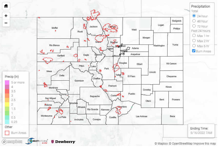
As anticipated, yesterday was an overall quiet day for weather across Colorado with generally seasonable to slightly warmer temperatures and dry conditions for much of the state. In the late afternoon, cloud coverage and very isolated showers developed in Southern Colorado, including the southern portion of the Front Range Mountains, Southeast Mountains, San Luis Valley, Palmer and Raton Ridges, and Southeast Plains – however the very dry surface layer inhibited most rainfall, instead producing virga. There are only a handful of Trace-0.01 observations across the region.
From my vantage point in Trinidad, we received 0.01 inches of rain (not enough to show up on the QPE map below) and the clouds were timed just right to cover most of last night’s lunar eclipse. If you missed it last night too, the #cowx hashtag is full of great shots from across the state of of the Super Flower Blood Moon lunar eclipse, including this one from William Woody in Montrose.
Last night’s lunar eclipse from #MontroseCO. A few thin clouds in the beginning, but clear viewing the rest of the night. 1200mm f8. #lunareclipse2022 #colorado #cowx pic.twitter.com/xuTueKaMyv
— William Woody (@wwoodyCO) May 16, 2022
There were no flood reports yesterday. For rainfall estimates in your area, including antecedent conditions, check out the MetStorm Live QPE below.
