Issue Date: Sunday, May 15th, 2022
Issue Time: 9:40 AM MDT
Summary:
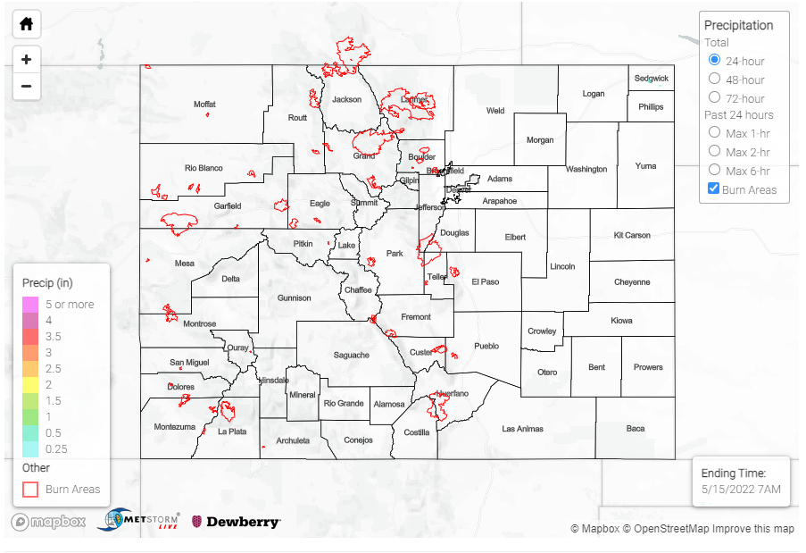
Zonal flow aloft yesterday allowed for another quiet and dry day across Colorado. There was no precipitaiton reported across the state, with mostly breezy conditions and seasonable tempertaures all around. Fire danger remained high however – grass fires continued to spark up around Colorado Springs and the High Park Fire burning in Teller County is now at over 1150 acres with only 10% containment. Smoke from the High Park Fire also resulted in poor air quality in Teller and El Paso Counties. A prescribed burn near Aspen also contributed to poor air quality in the Pikes Peak region as well.
Winds generally out of the west has kept smoke from the large Calf Canyon and Hermits Peak fires in New Mexico out of Southern and Eastern Colorado this weekend. Matt Minnillo shared the following image on twitter of the pyrocumulus, a cloud formed from rising hot air above a fire, from those fires near their viewpoint around Alamosa.
Pyrocumulus from the Calf Canyon and Hermits Peak fires. Viewed from East of Alamosa, looking about 120 miles to the south. #cowx #nmwx pic.twitter.com/gt1embhwqi
— Matt Minnillo and Blue Thunder (@MattBlueThunder) May 14, 2022
There were no flood reports yesterday. For rainfall estimates in your area, including antecedent conditions, check out the MetStorm Live QPE below.
